UN/LOCODE hub · United Kingdom
GBHKY
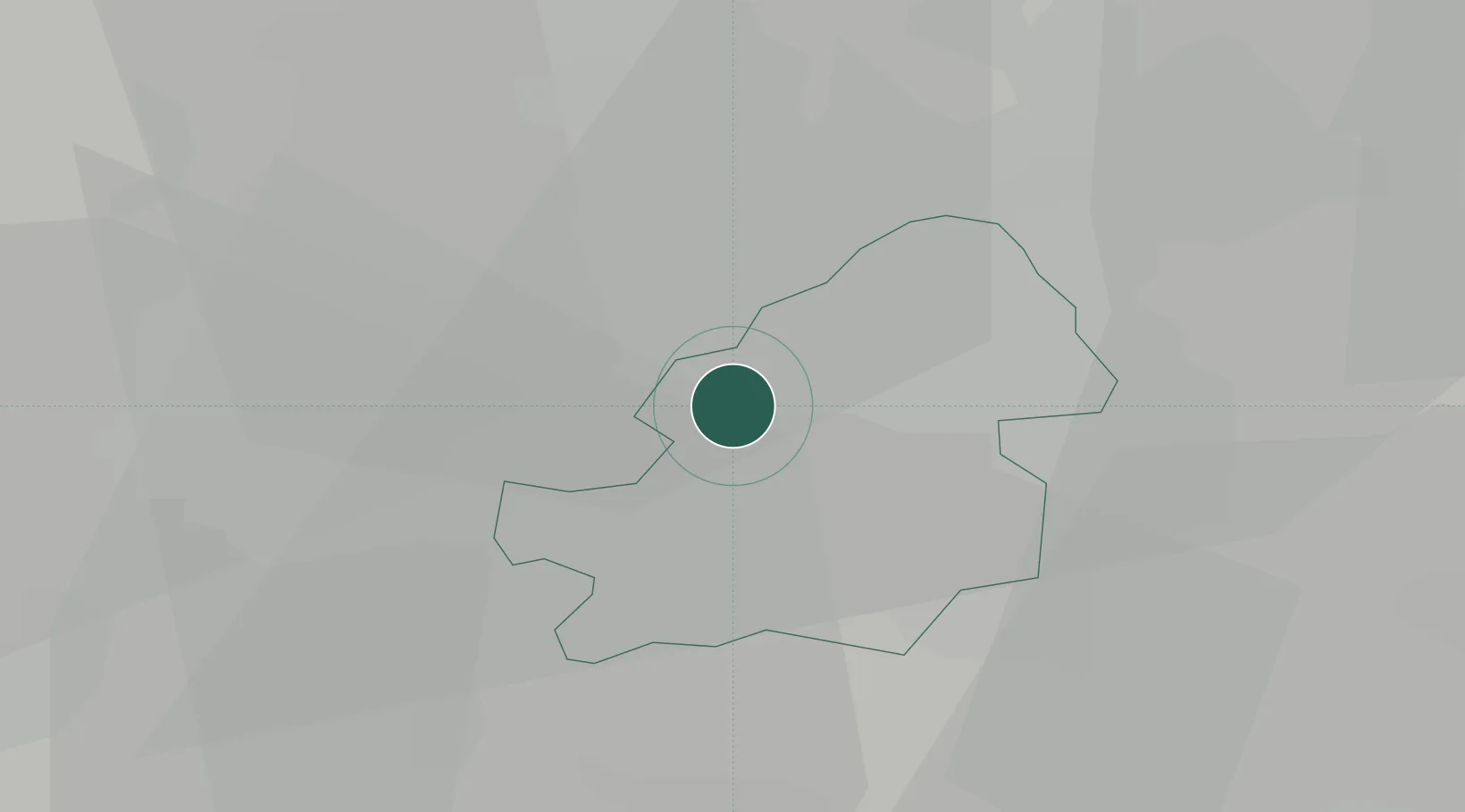
Hockley
52.5000°, -1.9167°
13,919
Population
2
Transport functions
Transport Functions
Rail
Road
Hub Profile
Place type
Urban district
Region
England
Population
13,919
Time zone
Europe/London
Elevation
131 m
Location
Nearby Logistics Neighbours
Cities
- 1Handsworth1 km
- 2Perry Barr1 km
- 3Balsall Heath6 km
- 4Bradenham7 km
- 5Rowley Regis/West Bromwich8 km
Ports
- 1Sharpness95 km
- 2Manchester112 km
- 3Garlston115 km
- 4Avonmouth124 km
- 5Bristol125 km
Airports
- 1Birmingham Airport13 km
- 2RAF Cosford31 km
- 3Coventry Airport33 km
- 4East Midlands Airport54 km
- 5RAF Shawbury61 km
Trade Zones
DatabookThe Record of Consolidated Knowledge
United Kingdom beyond logistics?