UN/LOCODE hub · United Kingdom
GBXGL
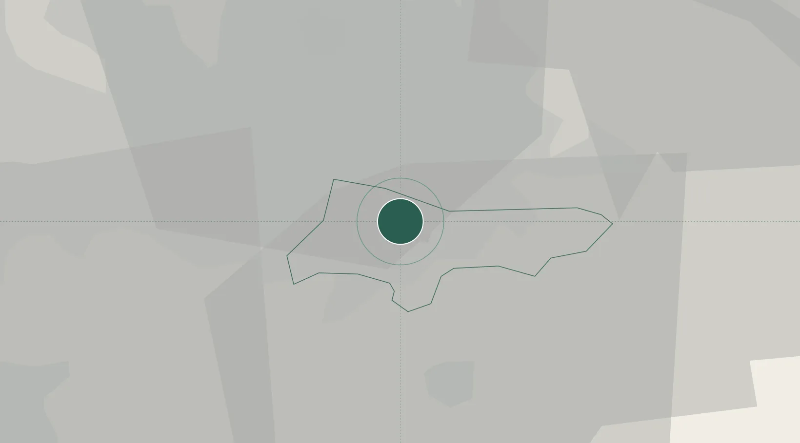
Great Longstone
53.4000°, -2.1667°
843
Population
1
Transport functions
Transport Functions
Multimodal
Hub Profile
Place type
Populated place
Region
England
Population
843
Time zone
Europe/London
Elevation
200 m
Location
Nearby Logistics Neighbours
Cities
- 1Stockport1 km
- 2Bramhall4 km
- 3Reddish4 km
- 4Cheadle Hulme4 km
- 5Levenshulme6 km
Ports
- 1Manchester11 km
- 2Garlston49 km
- 3Liverpool55 km
- 4Mostyn74 km
- 5Fleetwood80 km
Airports
- 1Manchester Airport9 km
- 2Liverpool John Lennon Airport46 km
- 3Hawarden Airport59 km
- 4Warton Aerodrome61 km
- 5Leeds Bradford Airport62 km
DatabookThe Record of Consolidated Knowledge
United Kingdom beyond logistics?