UN/LOCODE hub · United Kingdom
GBVAL
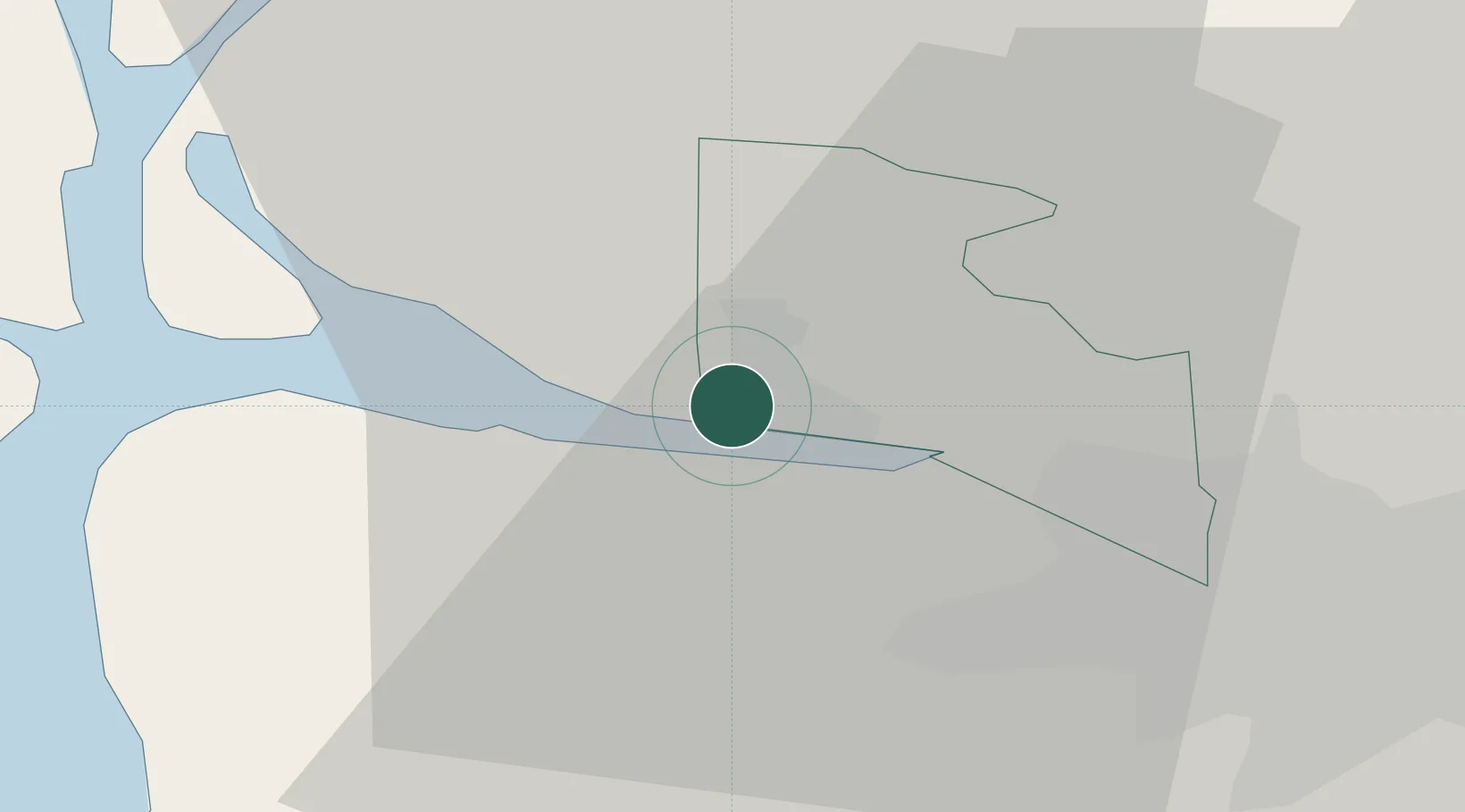
Vale of Leven
55.9500°, -4.5833°
24,640
Population
2
Transport functions
Transport Functions
Rail
Road
Hub Profile
Place type
Populated place
Region
Scotland
Population
24,640
Time zone
Europe/London
Elevation
9 m
Location
Nearby Logistics Neighbours
Cities
- 1Port Glasgow7 km
- 2Greenock7 km
- 3Bowling7 km
- 4Old Kilpatrick9 km
- 5Helensburgh11 km
Ports
- 1Bowling7 km
- 2Old Kilpatrick8 km
- 3Greenock10 km
- 4Renfrew15 km
- 5Faslane19 km
Airports
- 1Glasgow Airport13 km
- 2Glasgow Prestwick Airport50 km
- 3Edinburgh Airport75 km
- 4Oban Airport76 km
- 5Campbeltown Airport90 km
Trade Zones
DatabookThe Record of Consolidated Knowledge
United Kingdom beyond logistics?