Transport Functions
Port
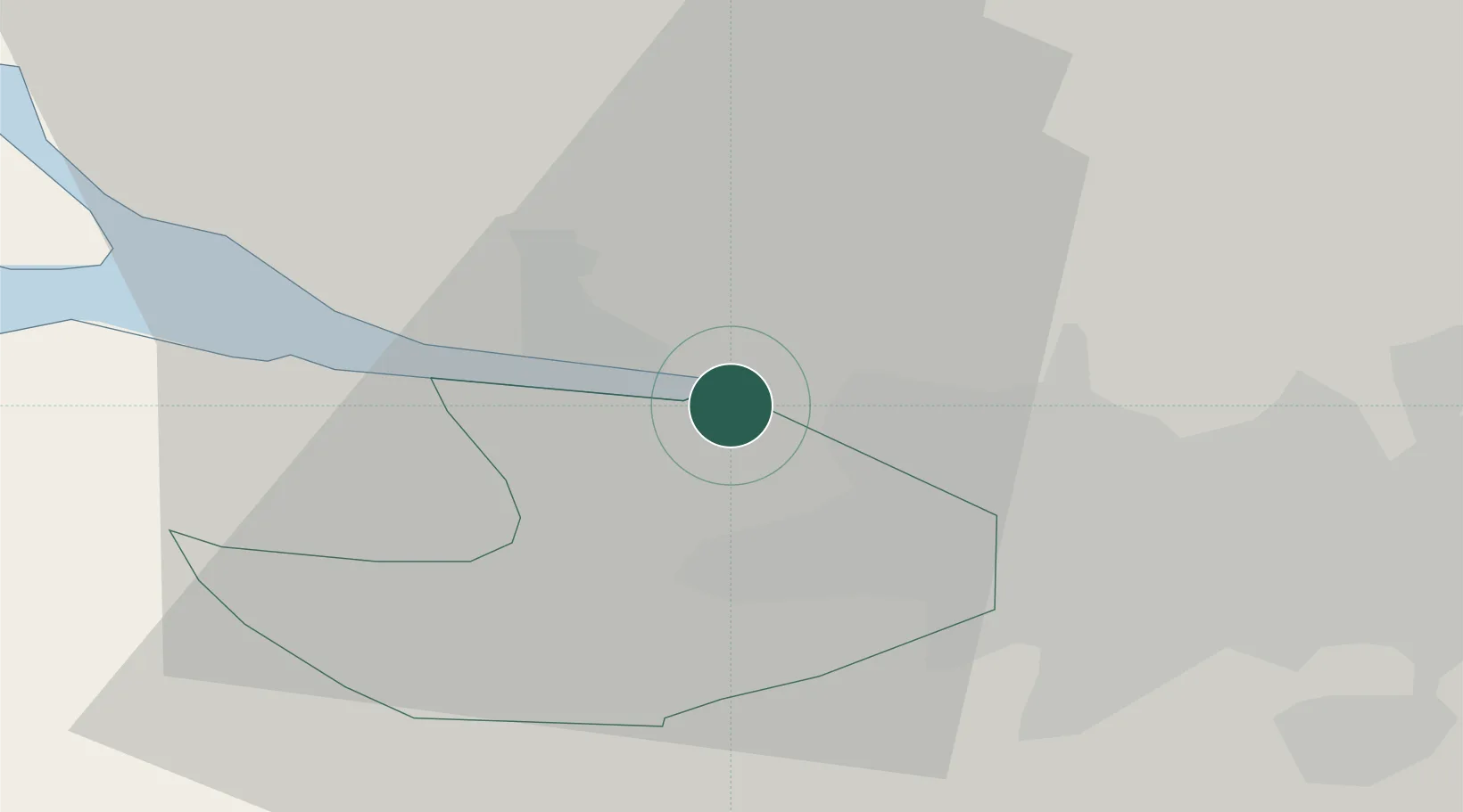
Hub Profile
Place type
Populated place
Region
Scotland
Population
520
Time zone
Europe/London
Elevation
18 m
Location
Nearby Logistics Neighbours
Cities
- 1Old Kilpatrick2 km
- 2Clydebank6 km
- 3Georgetown6 km
- 4Renfrew6 km
- 5Vale of Leven7 km
Ports
- 1Old Kilpatrick1 km
- 2Renfrew7 km
- 3Glasgow14 km
- 4Greenock17 km
- 5Faslane27 km
Airports
- 1Glasgow Airport6 km
- 2Glasgow Prestwick Airport47 km
- 3Edinburgh Airport69 km
- 4Oban Airport83 km
- 5Campbeltown Airport92 km
Trade Zones
DatabookThe Record of Consolidated Knowledge
United Kingdom beyond logistics?