UN/LOCODE hub · United Kingdom
GBRCS
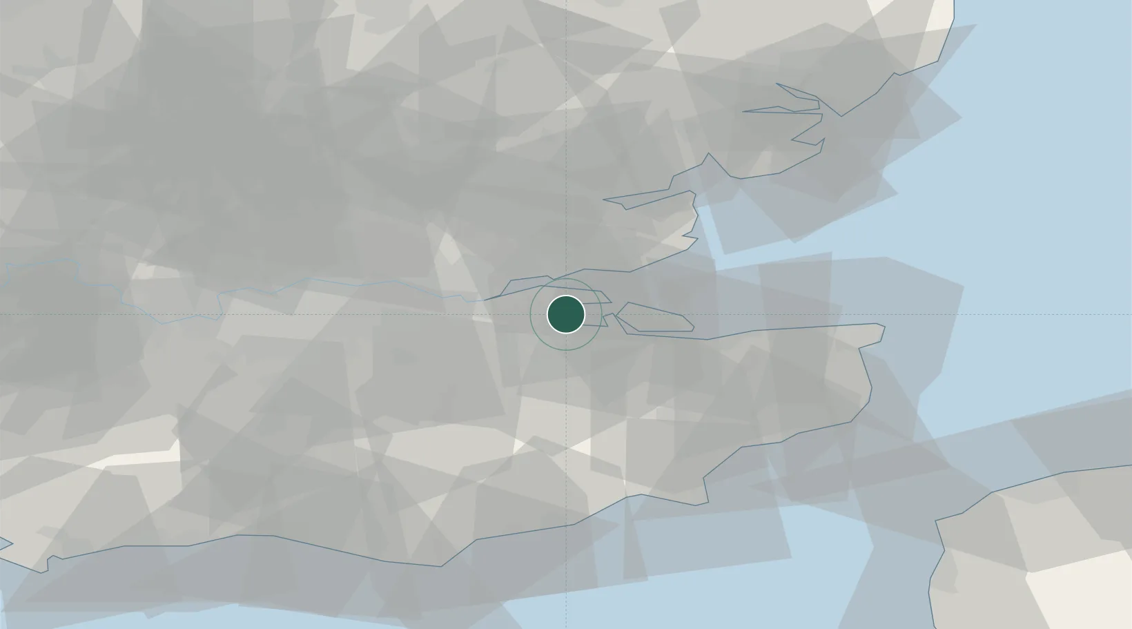
Rochester
51.4158°, 0.6022°
28,671
Population
2
Transport functions
1
Container terminals
Transport Functions
Port
Airport
Hub Profile
Place type
Provincial seat
Region
England
Population
28,671
Time zone
Europe/London
Elevation
8 m
Logistics facilities
2
Container terminals
1
Location
Nearby Logistics Neighbours
Cities
- 1London Thamesport2 km
- 2Gillingham5 km
- 3Upnor6 km
- 4Isle of Grain8 km
- 5North Woolwich10 km
Ports
- 1Chatham Docks4 km
- 2Isle Of Grain7 km
- 3Thamesport7 km
- 4Sheerness11 km
- 5Gravesend17 km
Airports
- 1London Southend Airport18 km
- 2London City Airport39 km
- 3London Biggin Hill Airport41 km
- 4Lydd London Ashford Airport56 km
- 5London Stansted Airport58 km
Trade Zones
DatabookThe Record of Consolidated Knowledge
United Kingdom beyond logistics?