UN/LOCODE hub · United Kingdom
GBGRG
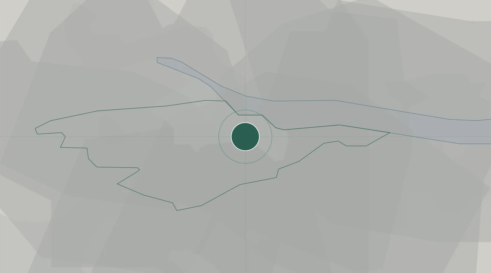
Grangemouth
56.0003°, -3.7113°
17,280
Population
1
Transport functions
1
Container terminals
Transport Functions
Port
Hub Profile
Place type
Populated place
Region
Scotland
Population
17,280
Time zone
Europe/London
Elevation
6 m
Logistics facilities
7
Container terminals
1
Location
Nearby Logistics Neighbours
Cities
- 1Grangemounth2 km
- 2Redding2 km
- 3Bo'ness7 km
- 4Kincardine7 km
- 5Culross8 km
Ports
- 1Rosyth17 km
- 2Hound Point Terminal21 km
- 3Braefoot Bay Terminal25 km
- 4Burntisland30 km
- 5Granton31 km
Airports
- 1Edinburgh Airport22 km
- 2Glasgow Airport47 km
- 3Dundee Airport66 km
- 4Leuchars Station Airfield67 km
- 5Glasgow Prestwick Airport78 km
Trade Zones
DatabookThe Record of Consolidated Knowledge
United Kingdom beyond logistics?