UN/LOCODE hub · United Kingdom
GBGGU

Grangemounth

56.0167°, -3.7333°
1
Transport functions

Transport Functions

Multimodal
UN/LOCODE

Hub Profile

Region
FAL
GeoNames

Location

Location of GBGGU
Natural Earth 10m (public domain) · FAL · GBGGU · 56.02, -3.73GoogleOSMYandex

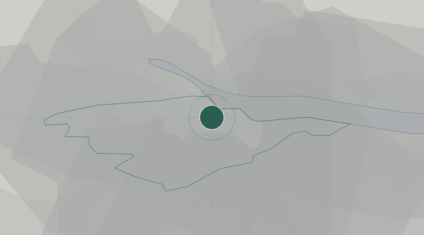
Nearby Logistics Neighbours

Cities
  1. 1Grangemouth2 km
  2. 2Redding4 km
  3. 3Kincardine6 km
  4. 4Culross8 km
  5. 5Bo'ness9 km
Nearest neighbours — logibook spatial index (haversine) over the source coordinates
Ports
  1. 1Grangemouth1 km
  2. 2Rosyth19 km
  3. 3Hound Point Terminal23 km
  4. 4Braefoot Bay Terminal26 km
  5. 5Burntisland31 km
Nearest neighbours — logibook spatial index (haversine) over the source coordinates
Airports
  1. 1Edinburgh Airport24 km
  2. 2Glasgow Airport46 km
  3. 3Dundee Airport65 km
  4. 4Leuchars Station Airfield67 km
  5. 5Glasgow Prestwick Airport78 km
Nearest neighbours — logibook spatial index (haversine) over the source coordinates
Trade Zones
  1. 1Prestwick Airport Free Zone79 km
  2. 2Carlisle Kingmoor Park Enterprise Zone130 km
  3. 3North Eastern Enterprise Zone177 km
  4. 4Isle of Man Free Zone and Business Park221 km
  5. 5Tees Valley Enterprise Zone225 km
Nearest neighbours — logibook spatial index (haversine) over the source coordinates
DatabookThe Record of Consolidated Knowledge
United Kingdom beyond logistics?
Browse databook

All Sources

LocationsUN/LOCODE
UN/LOCODE — free
Portsthe NGA World Port Index
Public domain (US gov)
AirportsOurAirports
Public domain
Trade Zonesthe World Bank SEZ database
CC BY 4.0
Trade ZonesOpen Zone Map
CC BY
← United Kingdom locations