UN/LOCODE hub · United Kingdom
GBBON
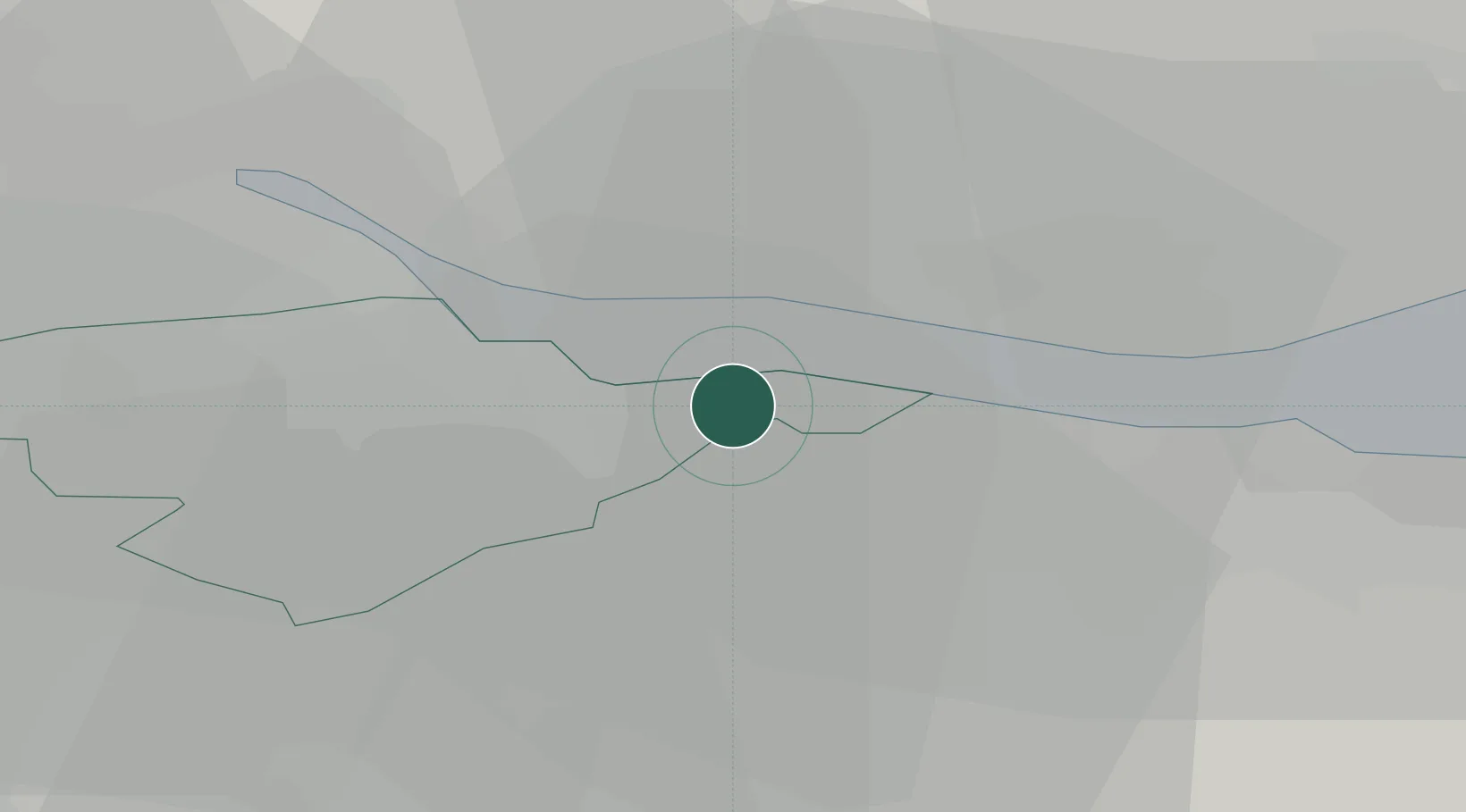
Bo'ness
56.0000°, -3.6000°
14,910
Population
1
Transport functions
Transport Functions
Port
Hub Profile
Place type
Populated place
Region
Scotland
Population
14,910
Time zone
Europe/London
Elevation
3 m
Location
Nearby Logistics Neighbours
Cities
- 1Blackness5 km
- 2Culross6 km
- 3Grangemouth7 km
- 4Crombie7 km
- 5Charlestown7 km
Ports
- 1Grangemouth8 km
- 2Rosyth11 km
- 3Hound Point Terminal15 km
- 4Braefoot Bay Terminal18 km
- 5Burntisland24 km
Airports
- 1Edinburgh Airport15 km
- 2Glasgow Airport54 km
- 3Leuchars Station Airfield61 km
- 4Dundee Airport62 km
- 5Glasgow Prestwick Airport83 km
Trade Zones
DatabookThe Record of Consolidated Knowledge
United Kingdom beyond logistics?