Transport Functions
Port
Hub Profile
Place type
Populated place
Region
Northern Ireland
Time zone
Europe/London
Elevation
11 m
Logistics facilities
1
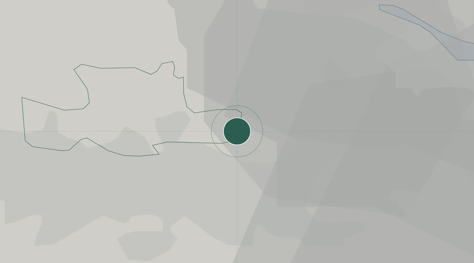
Location
Nearby Logistics Neighbours
Cities
- 1Moodiesburn3 km
- 2Mossend13 km
- 3Holytown13 km
- 4Denny14 km
- 5Cambuslang15 km
Ports
- 1Glasgow16 km
- 2Renfrew22 km
- 3Grangemouth23 km
- 4Old Kilpatrick26 km
- 5Bowling27 km
Airports
- 1Glasgow Airport25 km
- 2Edinburgh Airport42 km
- 3Glasgow Prestwick Airport58 km
- 4Dundee Airport86 km
- 5Leuchars Station Airfield88 km
Trade Zones
DatabookThe Record of Consolidated Knowledge
United Kingdom beyond logistics?