Transport Functions
Multimodal
Hub Profile
Place type
Populated place
Region
England
Population
4,754
Time zone
Europe/London
Elevation
51 m
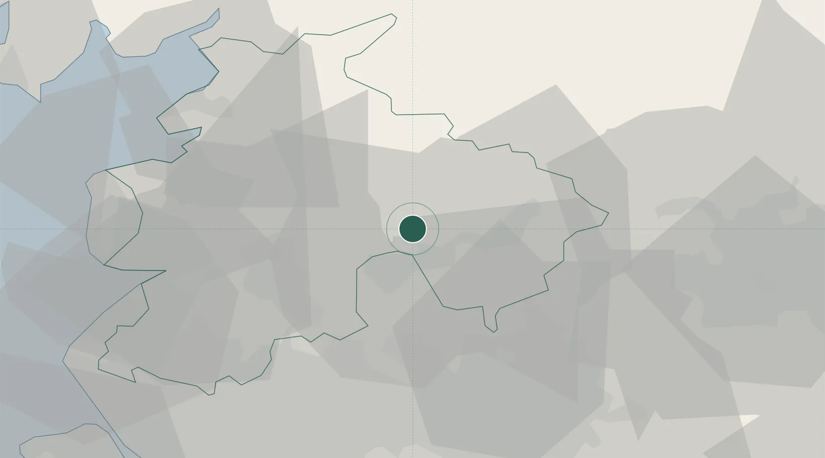
Location
Nearby Logistics Neighbours
Cities
- 1Simonstone5 km
- 2Blackburn5 km
- 3Ribchester8 km
- 4Baxenden10 km
- 5Brierfield12 km
Ports
- 1Lancaster35 km
- 2Manchester38 km
- 3Heysham41 km
- 4Fleetwood41 km
- 5Liverpool59 km
Airports
- 1Warton Aerodrome32 km
- 2Blackpool Airport41 km
- 3Leeds Bradford Airport50 km
- 4Manchester Airport53 km
- 5Liverpool John Lennon Airport61 km
Trade Zones
DatabookThe Record of Consolidated Knowledge
United Kingdom beyond logistics?