UN/LOCODE hub · United Kingdom
GBBFE
Brierfield
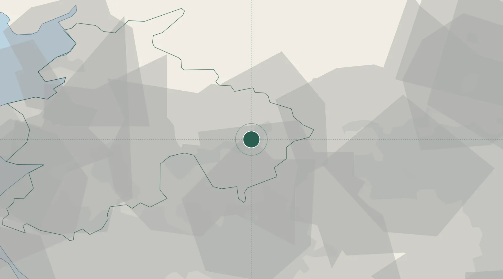
53.8167°, -2.2333°
10,271
Population
3
Transport functions
Transport Functions
Port
Rail
Road
Hub Profile
Place type
Populated place
Region
England
Population
10,271
Time zone
Europe/London
Elevation
156 m
Location
Nearby Logistics Neighbours
Cities
- 1Simonstone8 km
- 2Baxenden12 km
- 3Whalley12 km
- 4Blackburn12 km
- 5Gisburn13 km
Ports
- 1Manchester37 km
- 2Lancaster44 km
- 3Heysham51 km
- 4Fleetwood53 km
- 5Liverpool67 km
Airports
- 1Leeds Bradford Airport38 km
- 2Warton Aerodrome43 km
- 3Manchester Airport52 km
- 4Blackpool Airport53 km
- 5Liverpool John Lennon Airport67 km
Trade Zones
DatabookThe Record of Consolidated Knowledge
United Kingdom beyond logistics?