UN/LOCODE hub · United Kingdom
GBEAA

Easdale, Seil

56.2833°, -5.6500°
2
Transport functions

Transport Functions

Port
Road
UN/LOCODE

Hub Profile

Region
AGB
GeoNames

Location

Location of GBEAA
Natural Earth 10m (public domain) · AGB · GBEAA · 56.28, -5.65GoogleOSMYandex

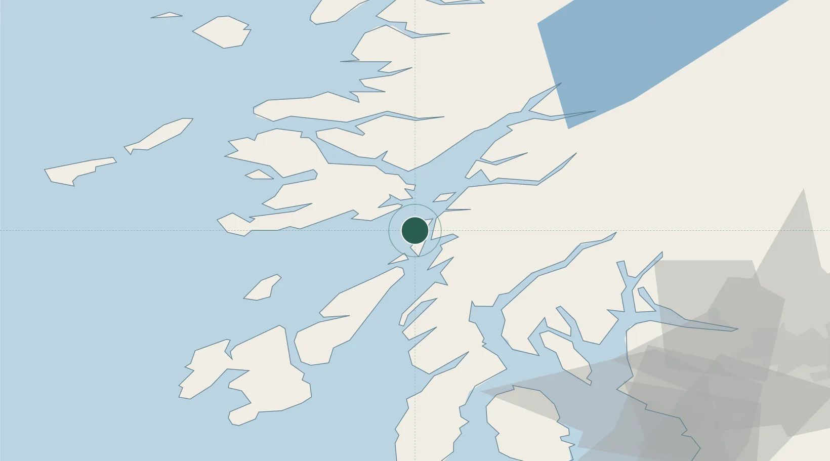
Nearby Logistics Neighbours

Cities
  1. 1Ellenabeich, Seil0 km
  2. 2Cuan Ferry, Seil2 km
  3. 3South Cuan, Luing2 km
  4. 4Balvicar3 km
  5. 5Toberonochy10 km
Nearest neighbours — logibook spatial index (haversine) over the source coordinates
Ports
  1. 1Oban19 km
  2. 2Craignure21 km
  3. 3Crinan (Canal)23 km
  4. 4Lochaline31 km
  5. 5Ardrishaig32 km
Nearest neighbours — logibook spatial index (haversine) over the source coordinates
Airports
  1. 1Oban Airport25 km
  2. 2Colonsay Airstrip45 km
  3. 3Coll Airport69 km
  4. 4Islay Airport77 km
  5. 5Tiree Airport79 km
Nearest neighbours — logibook spatial index (haversine) over the source coordinates
Trade Zones
  1. 1Prestwick Airport Free Zone108 km
  2. 2Carlisle Kingmoor Park Enterprise Zone226 km
  3. 3Isle of Man Free Zone and Business Park252 km
  4. 4North Eastern Enterprise Zone292 km
  5. 5Blackpool Enterprise Zone325 km
Nearest neighbours — logibook spatial index (haversine) over the source coordinates
DatabookThe Record of Consolidated Knowledge
United Kingdom beyond logistics?
Browse databook

All Sources

LocationsUN/LOCODE
UN/LOCODE — free
Portsthe NGA World Port Index
Public domain (US gov)
AirportsOurAirports
Public domain
Trade Zonesthe World Bank SEZ database
CC BY 4.0
Trade ZonesOpen Zone Map
CC BY
← United Kingdom locations