Transport Functions
Road
Multimodal
Hub Profile
Place type
Populated place
Region
Wales
Population
542
Time zone
Europe/London
Elevation
160 m
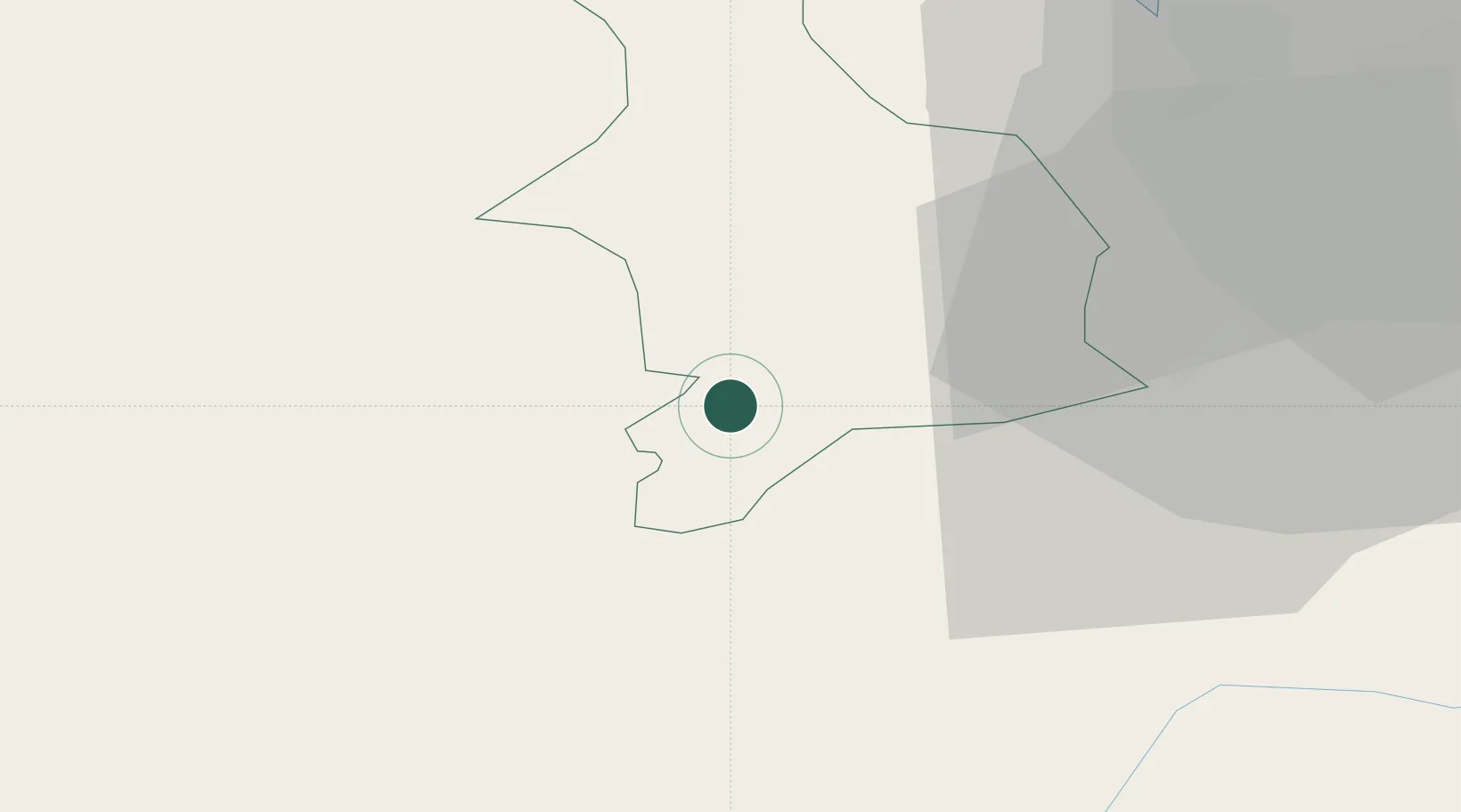
Location
Nearby Logistics Neighbours
Cities
- 1Corwen2 km
- 2Cefn-Mawr22 km
- 3Cerrigdrudion26 km
- 4Hope31 km
- 5Ditton Priors33 km
Ports
- 1Mostyn42 km
- 2Garlston56 km
- 3Liverpool58 km
- 4Caernarvon62 km
- 5Liverpool Bay Terminal66 km
Airports
- 1Hawarden Airport38 km
- 2RAF Shawbury52 km
- 3Liverpool John Lennon Airport56 km
- 4RAF Cosford81 km
- 5Anglesey Airport83 km
Trade Zones
DatabookThe Record of Consolidated Knowledge
United Kingdom beyond logistics?