Transport Functions
Port
Hub Profile
Place type
District seat
Region
England
Time zone
Europe/London
Elevation
21 m
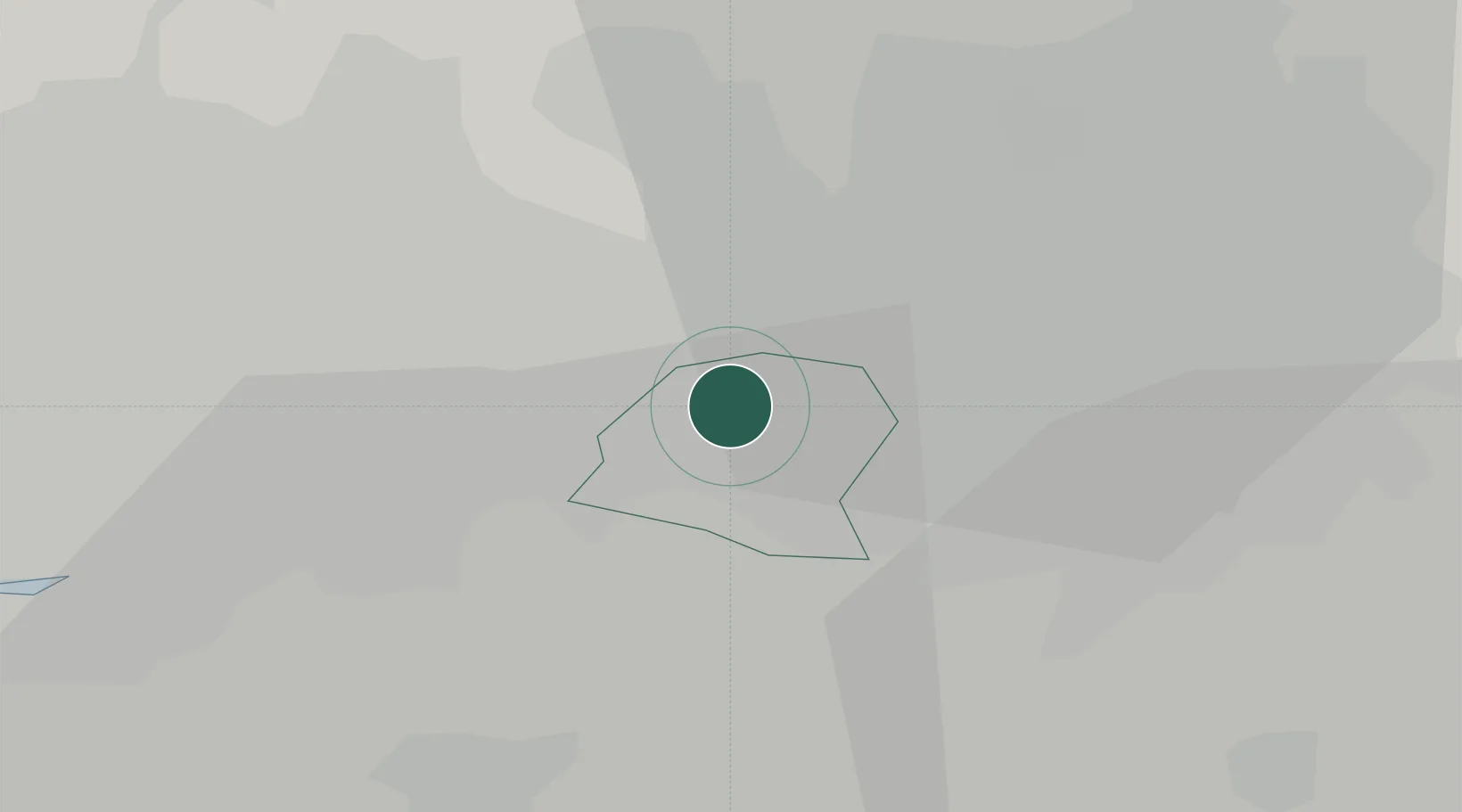
Location
Nearby Logistics Neighbours
Cities
- 1Partington3 km
- 2Trafford Park5 km
- 3Manchester6 km
- 4Cadishead6 km
- 5Eccles7 km
Ports
- 1Manchester10 km
- 2Garlston36 km
- 3Liverpool41 km
- 4Mostyn60 km
- 5Fleetwood68 km
Airports
- 1Manchester Airport12 km
- 2Liverpool John Lennon Airport33 km
- 3Warton Aerodrome48 km
- 4Hawarden Airport49 km
- 5Blackpool Airport57 km
Trade Zones
DatabookThe Record of Consolidated Knowledge
United Kingdom beyond logistics?