Transport Functions
Port
Road
Hub Profile
Place type
Urban district
Region
England
Time zone
Europe/London
Elevation
19 m
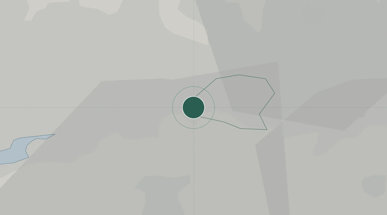
Location
Nearby Logistics Neighbours
Cities
- 1Partington3 km
- 2Carrington6 km
- 3Warrington10 km
- 4Leigh10 km
- 5Trafford Park11 km
Ports
- 1Manchester15 km
- 2Garlston30 km
- 3Liverpool37 km
- 4Mostyn55 km
- 5Fleetwood69 km
Airports
- 1Manchester Airport13 km
- 2Liverpool John Lennon Airport28 km
- 3Hawarden Airport43 km
- 4Warton Aerodrome48 km
- 5Blackpool Airport56 km
Trade Zones
DatabookThe Record of Consolidated Knowledge
United Kingdom beyond logistics?