UN/LOCODE hub · United Kingdom
GBGLW
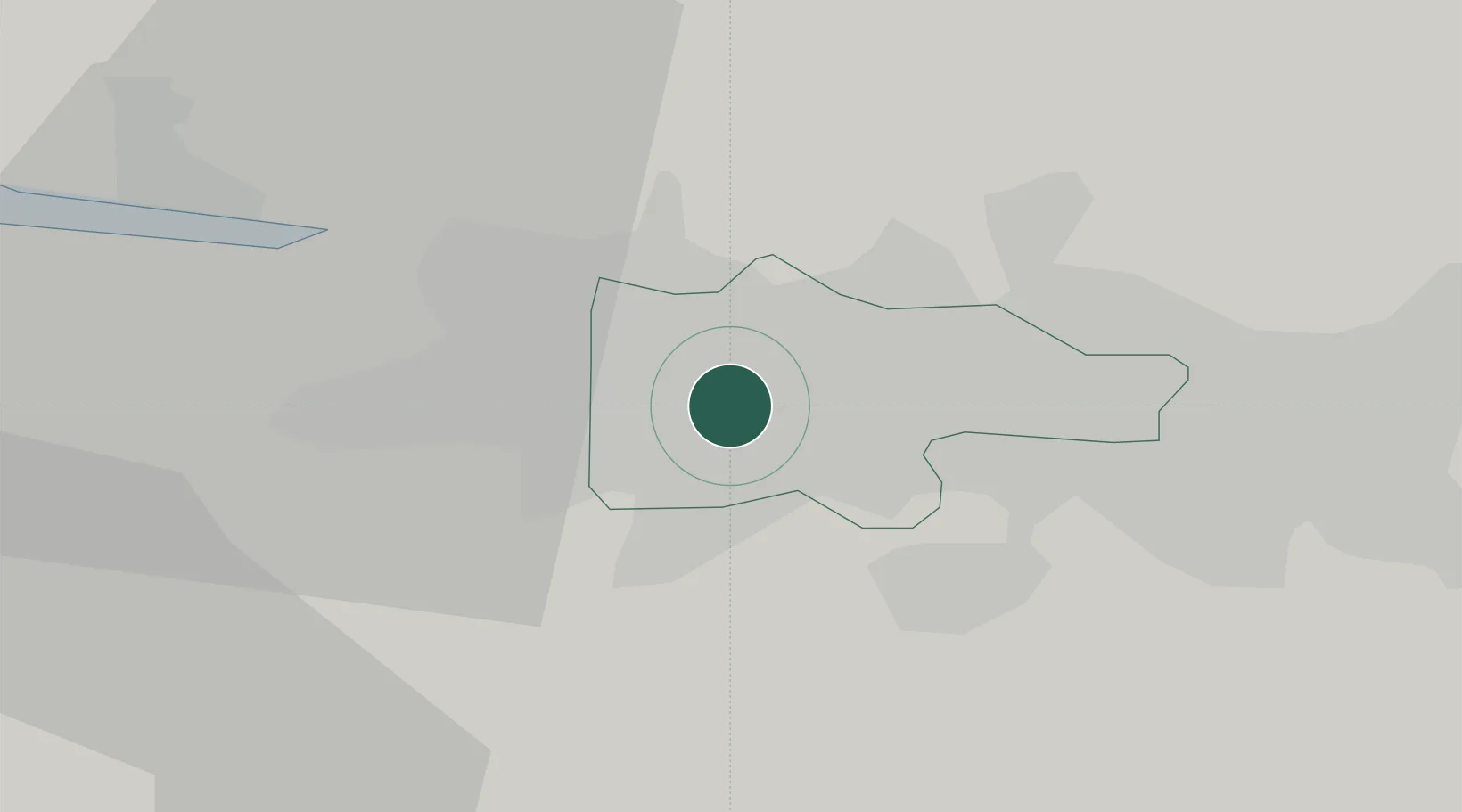
Glasgow
55.8435°, -4.2894°
626,410
Population
3
Transport functions
Transport Functions
Port
Airport
Postal
Hub Profile
Place type
Provincial seat
Region
Scotland
Population
626,410
Time zone
Europe/London
Elevation
40 m
Logistics facilities
5
Location
Nearby Logistics Neighbours
Cities
- 1Cambuslang7 km
- 2Renfrew8 km
- 3Bearsden9 km
- 4Clydebank9 km
- 5Neilston10 km
Ports
- 1Renfrew7 km
- 2Old Kilpatrick14 km
- 3Bowling16 km
- 4Greenock31 km
- 5Largs36 km
Airports
- 1Glasgow Airport10 km
- 2Glasgow Prestwick Airport42 km
- 3Edinburgh Airport58 km
- 4Oban Airport97 km
- 5Campbeltown Airport99 km
Trade Zones
DatabookThe Record of Consolidated Knowledge
United Kingdom beyond logistics?