UN/LOCODE hub · United Kingdom
GBWCO
Westcott
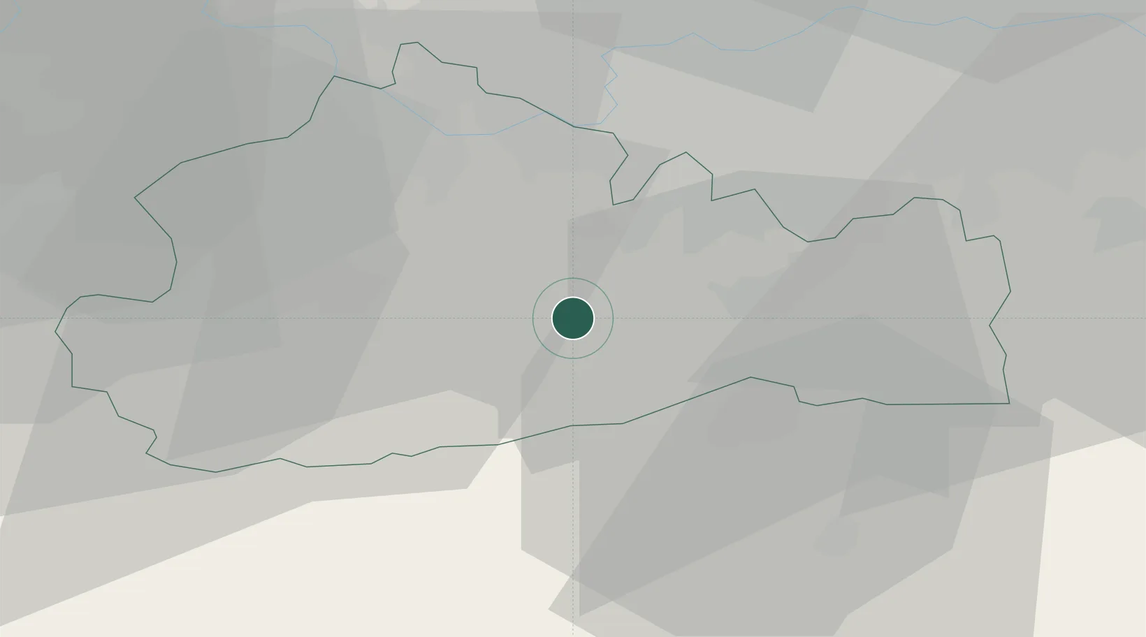
51.2167°, -0.3500°
2,528
Population
3
Transport functions
Transport Functions
Rail
Road
Multimodal
Hub Profile
Place type
Populated place
Region
England
Population
2,528
Time zone
Europe/London
Elevation
95 m
Location
Nearby Logistics Neighbours
Cities
- 1Capel8 km
- 2Salfords12 km
- 3Chilworth12 km
- 4North Cheam17 km
- 5Carshalton20 km
Ports
- 1London37 km
- 2Shoreham Harbour45 km
- 3Littlehampton Harbour50 km
- 4Tilbury55 km
- 5Newhaven Harbour56 km
Airports
- 1London Gatwick Airport14 km
- 2London Heathrow Airport29 km
- 3London Biggin Hill Airport30 km
- 4Farnborough Airport30 km
- 5Blackbushe Airport37 km
Trade Zones
DatabookThe Record of Consolidated Knowledge
United Kingdom beyond logistics?