Transport Functions
Multimodal
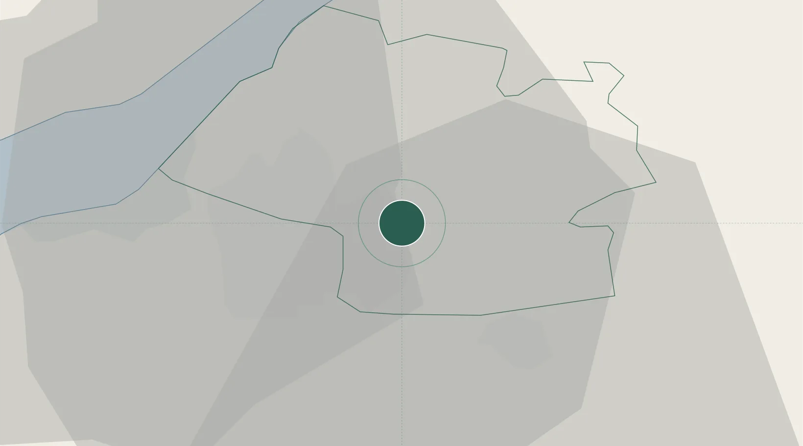
Hub Profile
Region
BST
Location
Nearby Logistics Neighbours
Cities
- 1Pucklechurch2 km
- 2Westerleigh4 km
- 3Wick5 km
- 4Bradley Stoke8 km
- 5Keynsham9 km
Airports
- 1Bristol Airport21 km
- 2Gloucestershire Airport50 km
- 3RAF Fairford52 km
- 4RNAS Yeovilton54 km
- 5Cardiff International Airport62 km
Trade Zones
DatabookThe Record of Consolidated Knowledge
United Kingdom beyond logistics?