Transport Functions
Road
Multimodal
Hub Profile
Place type
Populated place
Region
England
Time zone
Europe/London
Elevation
17 m
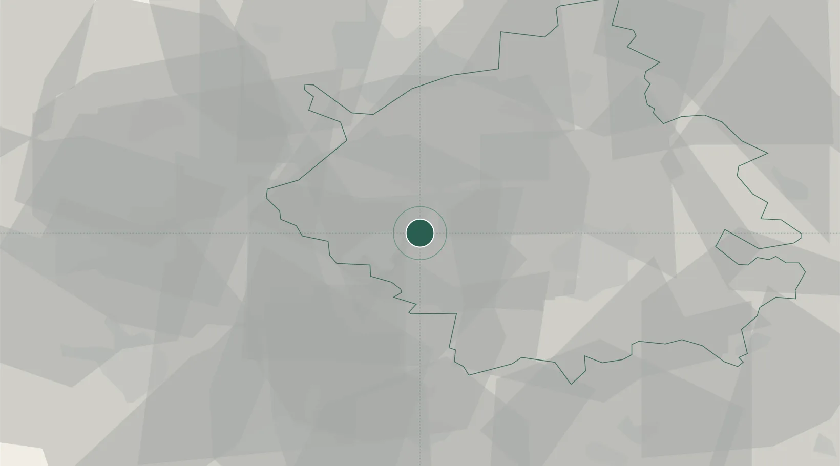
Location
Nearby Logistics Neighbours
Cities
- 1Brampton4 km
- 2Papworth Everard8 km
- 3Abbotsley11 km
- 4Moulton20 km
- 5Willington20 km
Ports
- 1Wisbech49 km
- 2King's Lynn66 km
- 3Boston77 km
- 4London88 km
- 5Colchester88 km
Airports
- 1Cambridge City Airport27 km
- 2Cranfield Airport37 km
- 3RAF Wittering41 km
- 4London Luton Airport47 km
- 5RAF Mildenhall48 km
DatabookThe Record of Consolidated Knowledge
United Kingdom beyond logistics?