Transport Functions
Port
Hub Profile
Place type
Populated place
Region
England
Population
446
Time zone
Europe/London
Elevation
41 m
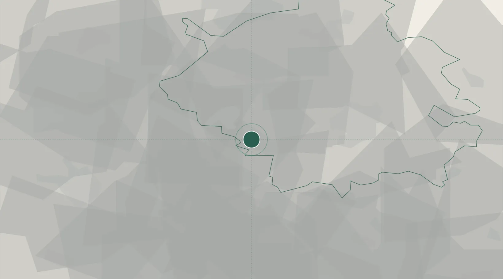
Location
Nearby Logistics Neighbours
Cities
- 1Papworth Everard8 km
- 2Offord Cluny11 km
- 3Willington13 km
- 4Brampton15 km
- 5Cardington17 km
Ports
- 1Wisbech59 km
- 2King's Lynn75 km
- 3London76 km
- 4Colchester83 km
- 5Tilbury88 km
Airports
- 1Cambridge City Airport26 km
- 2Cranfield Airport31 km
- 3London Luton Airport36 km
- 4London Stansted Airport45 km
- 5RAF Mildenhall51 km
DatabookThe Record of Consolidated Knowledge
United Kingdom beyond logistics?