Transport Functions
Port
Multimodal
Hub Profile
Place type
Populated place
Region
England
Time zone
Europe/London
Elevation
226 m
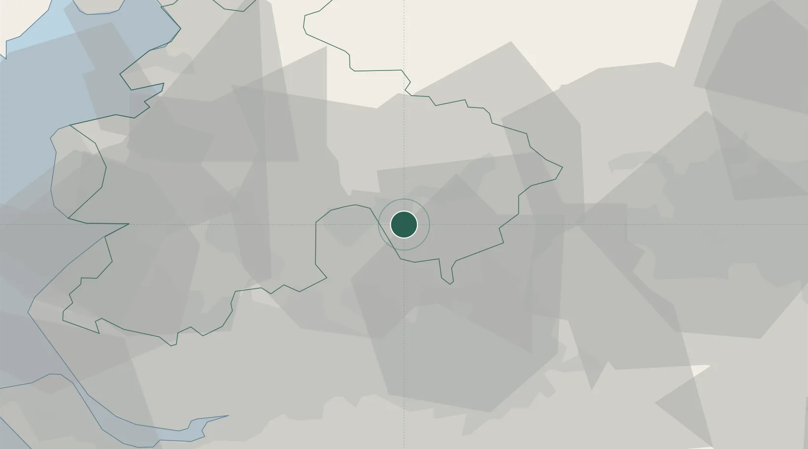
Location
Nearby Logistics Neighbours
Cities
- 1Blackburn5 km
- 2Simonstone7 km
- 3Rossendale9 km
- 4Whalley10 km
- 5Ramsbottom11 km
Ports
- 1Manchester28 km
- 2Lancaster45 km
- 3Fleetwood48 km
- 4Heysham50 km
- 5Liverpool56 km
Airports
- 1Warton Aerodrome35 km
- 2Manchester Airport43 km
- 3Blackpool Airport45 km
- 4Leeds Bradford Airport48 km
- 5Liverpool John Lennon Airport55 km
Trade Zones
DatabookThe Record of Consolidated Knowledge
United Kingdom beyond logistics?