UN/LOCODE hub · United Kingdom
GBBLB
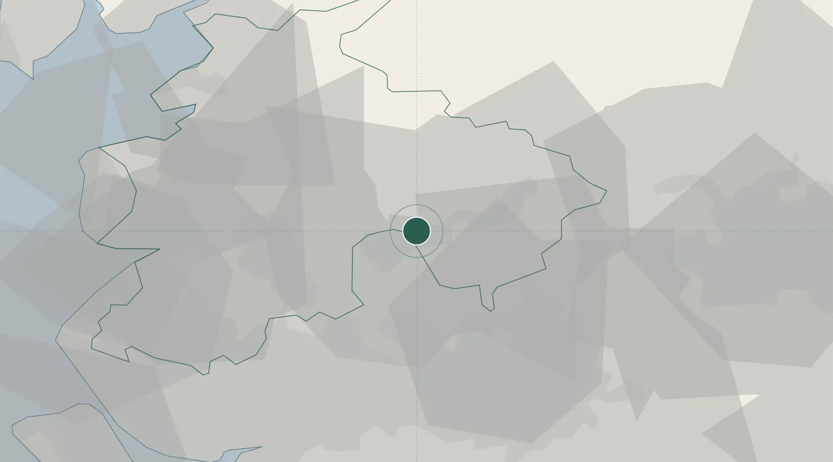
Blackburn
53.7699°, -2.4018°
146,521
Population
1
Transport functions
Transport Functions
Port
Hub Profile
Place type
Provincial seat
Region
England
Population
146,521
Time zone
Europe/London
Elevation
121 m
Logistics facilities
1
Location
Nearby Logistics Neighbours
Cities
- 1Simonstone5 km
- 2Whalley5 km
- 3Baxenden5 km
- 4Ribchester9 km
- 5Brierfield12 km
Ports
- 1Manchester33 km
- 2Lancaster40 km
- 3Fleetwood44 km
- 4Heysham45 km
- 5Liverpool56 km
Airports
- 1Warton Aerodrome32 km
- 2Blackpool Airport41 km
- 3Manchester Airport48 km
- 4Leeds Bradford Airport50 km
- 5Liverpool John Lennon Airport57 km
Trade Zones
DatabookThe Record of Consolidated Knowledge
United Kingdom beyond logistics?