UN/LOCODE hub · United Kingdom
GBAET

Ardentinny

56.0333°, -4.9000°
1
Transport functions

Transport Functions

Port
UN/LOCODE

Hub Profile

Place type
Populated place
GeoNames
Region
Scotland
GeoNames
Time zone
Europe/London
GeoNames
Elevation
5 m
GeoNames

Location

Location of GBAET
Natural Earth 10m (public domain) · Scotland · GBAET · 56.03, -4.90GoogleOSMYandex

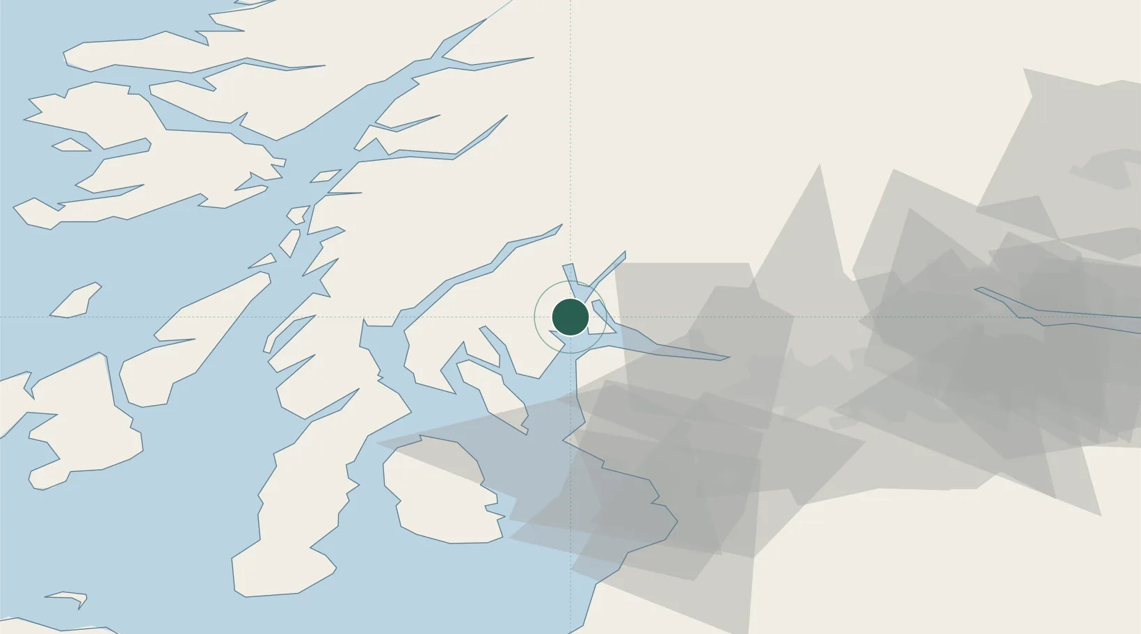
Nearby Logistics Neighbours

Cities
  1. 1Rosneath6 km
  2. 2Blairmore6 km
  3. 3Holy Loch6 km
  4. 4Faslane6 km
  5. 5Loch Long6 km
Nearest neighbours — logibook spatial index (haversine) over the source coordinates
Ports
  1. 1Faslane6 km
  2. 2Finnart Oil Terminal10 km
  3. 3Greenock13 km
  4. 4Rothesay Harbor24 km
  5. 5Largs26 km
Nearest neighbours — logibook spatial index (haversine) over the source coordinates
Airports
  1. 1Glasgow Airport34 km
  2. 2Oban Airport57 km
  3. 3Glasgow Prestwick Airport63 km
  4. 4Campbeltown Airport83 km
  5. 5Colonsay Airstrip84 km
Nearest neighbours — logibook spatial index (haversine) over the source coordinates
Trade Zones
  1. 1Prestwick Airport Free Zone61 km
  2. 2Carlisle Kingmoor Park Enterprise Zone173 km
  3. 3Isle of Man Free Zone and Business Park217 km
  4. 4North Eastern Enterprise Zone238 km
  5. 5Blackpool Enterprise Zone278 km
Nearest neighbours — logibook spatial index (haversine) over the source coordinates
DatabookThe Record of Consolidated Knowledge
United Kingdom beyond logistics?
Browse databook

All Sources

LocationsUN/LOCODE
UN/LOCODE — free
Portsthe NGA World Port Index
Public domain (US gov)
AirportsOurAirports
Public domain
Trade Zonesthe World Bank SEZ database
CC BY 4.0
Trade ZonesOpen Zone Map
CC BY
← United Kingdom locations