Transport Functions
Multimodal
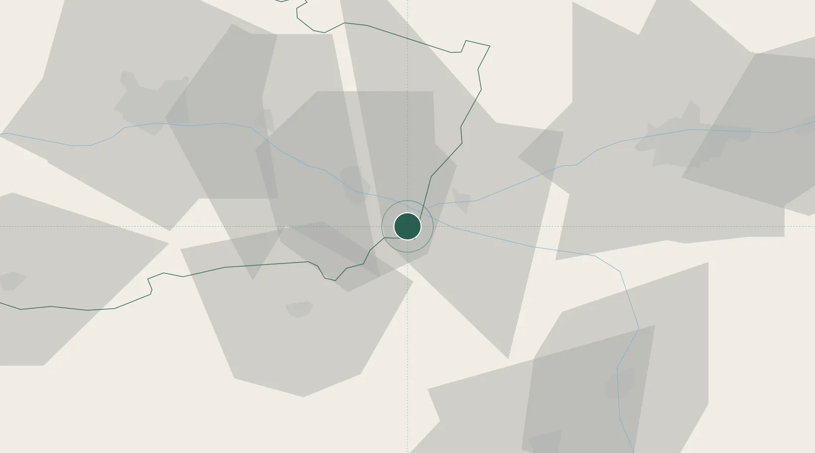
Hub Profile
Place type
Populated place
Region
Centre-Val de Loire
Population
716
Time zone
Europe/Paris
Elevation
158 m
Location
Nearby Logistics Neighbours
Cities
- 1Castillon-de-Castets0 km
- 2Castelnau-de-Lévis0 km
- 3Champoulet0 km
- 4Saillenard0 km
- 5Vaiges0 km
Ports
- 1Nantes122 km
- 2La Rochelle147 km
- 3La Pallice149 km
- 4Tonnay Charente157 km
- 5Rochefort159 km
Airports
- 1Angers Marcé airport50 km
- 2Tours Val de Loire Airport58 km
- 3Poitiers-Biard Airport69 km
- 4Le Mans-Arnage Airport86 km
- 5Niort - Marais Poitevin Airport103 km
Trade Zones
- 1ZFU Angers59 km
- 2ZFU Le Mans89 km
- 3ZFU Blois102 km
- 4ZFU Nantes et Saint-Herblain132 km
- 5ZFU Alençon139 km
DatabookThe Record of Consolidated Knowledge
France beyond logistics?