Transport Functions
Port
Multimodal
Hub Profile
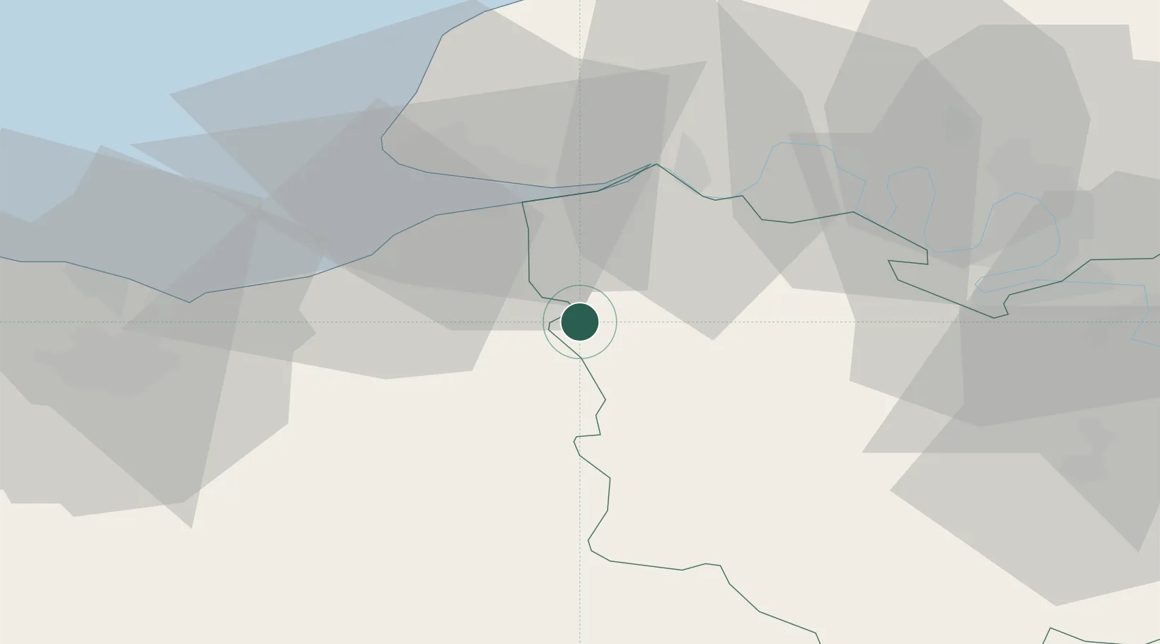
Place type
Populated place
Region
Normandy
Population
1,273
Time zone
Europe/Paris
Elevation
70 m
Location
Nearby Logistics Neighbours
Cities
- 1Bazoques9 km
- 2Ouilly-du-Houley10 km
- 3Le Breuil-en-Auge11 km
- 4Hermival-les-Vaux12 km
- 5Coquainvilliers13 km
Ports
- 1Honfleur22 km
- 2Deauville25 km
- 3Port Of Le Havre32 km
- 4Ouistreham46 km
- 5Port De Caen54 km
Airports
Trade Zones
- 1ZFU Le Havre34 km
- 2ZFU Hérouville-Saint-Clair54 km
- 3ZFU Rouen Bihorel57 km
- 4ZFU La Guérinière, La Grâce de Dieu58 km
- 5ZFU Évreux61 km
DatabookThe Record of Consolidated Knowledge
France beyond logistics?