Transport Functions
Multimodal
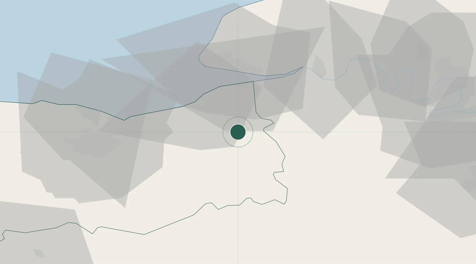
Hub Profile
Place type
Populated place
Region
Normandy
Population
891
Time zone
Europe/Paris
Elevation
33 m
Location
Nearby Logistics Neighbours
Cities
- 1Coquainvilliers4 km
- 2Hermival-les-Vaux8 km
- 3Coudray-Rabut9 km
- 4Silly-en-Gouffern10 km
- 5Ouilly-du-Houley10 km
Ports
- 1Deauville18 km
- 2Honfleur20 km
- 3Port Of Le Havre29 km
- 4Ouistreham36 km
- 5Port De Caen43 km
Airports
Trade Zones
- 1ZFU Le Havre31 km
- 2ZFU Hérouville-Saint-Clair43 km
- 3ZFU La Guérinière, La Grâce de Dieu47 km
- 4ZFU Rouen Bihorel67 km
- 5ZFU Évreux71 km
DatabookThe Record of Consolidated Knowledge
France beyond logistics?