Transport Functions
Road
Multimodal
Hub Profile
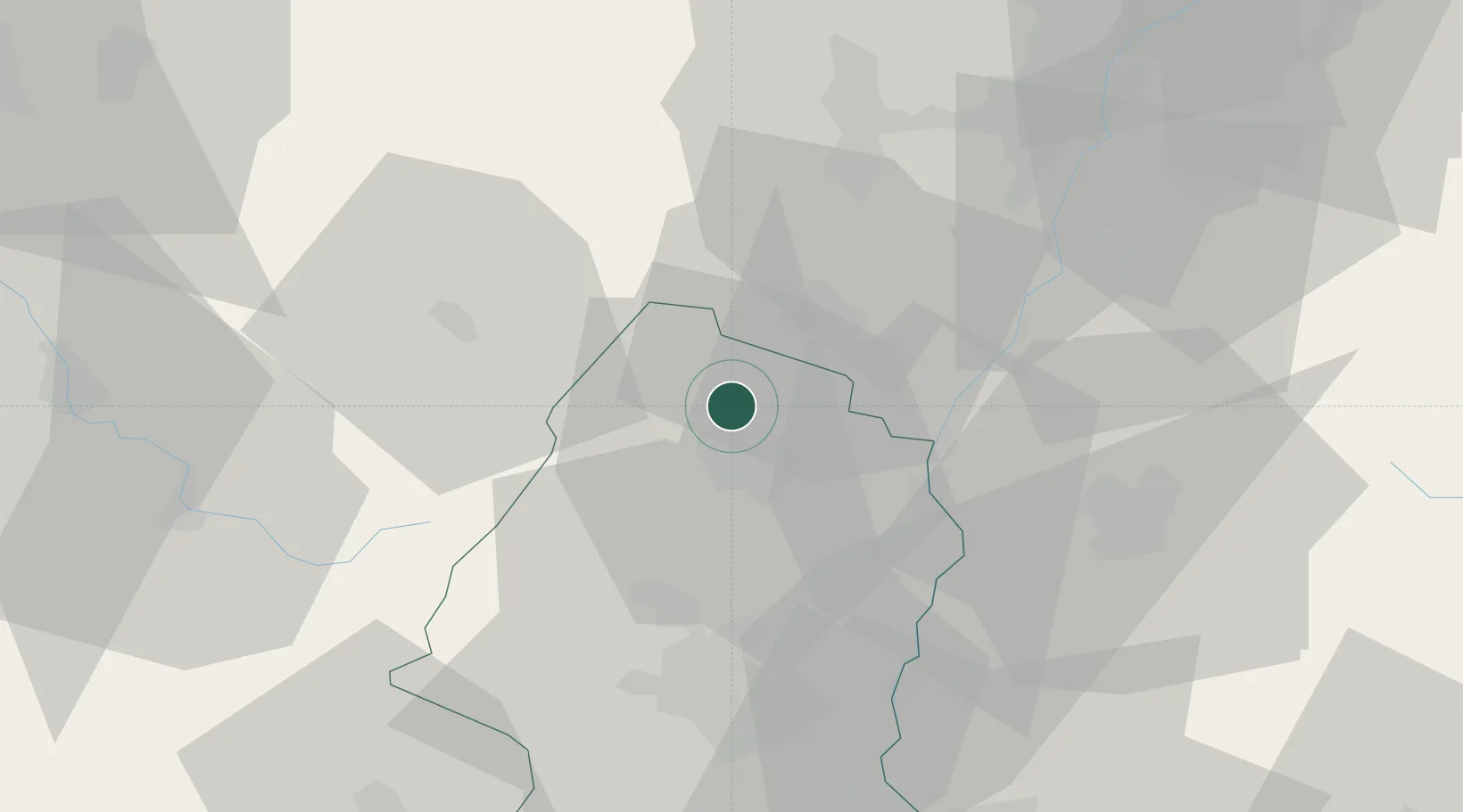
Place type
Populated place
Region
Grand Est
Population
411
Time zone
Europe/Paris
Elevation
280 m
Location
Nearby Logistics Neighbours
Cities
- 1Hunawihr0 km
- 2Mittelwihr2 km
- 3Ostheim4 km
- 4Burnhaupt-le-Bas5 km
- 5Ammerschwihr6 km
Airports
Trade Zones
- 1ZFU Mulhouse46 km
- 2ZFU Neuhof53 km
- 3ZFU Hautepierre55 km
- 4ZFU Belfort69 km
- 5ZFU Montbéliard84 km
DatabookThe Record of Consolidated Knowledge
France beyond logistics?