Transport Functions
Multimodal
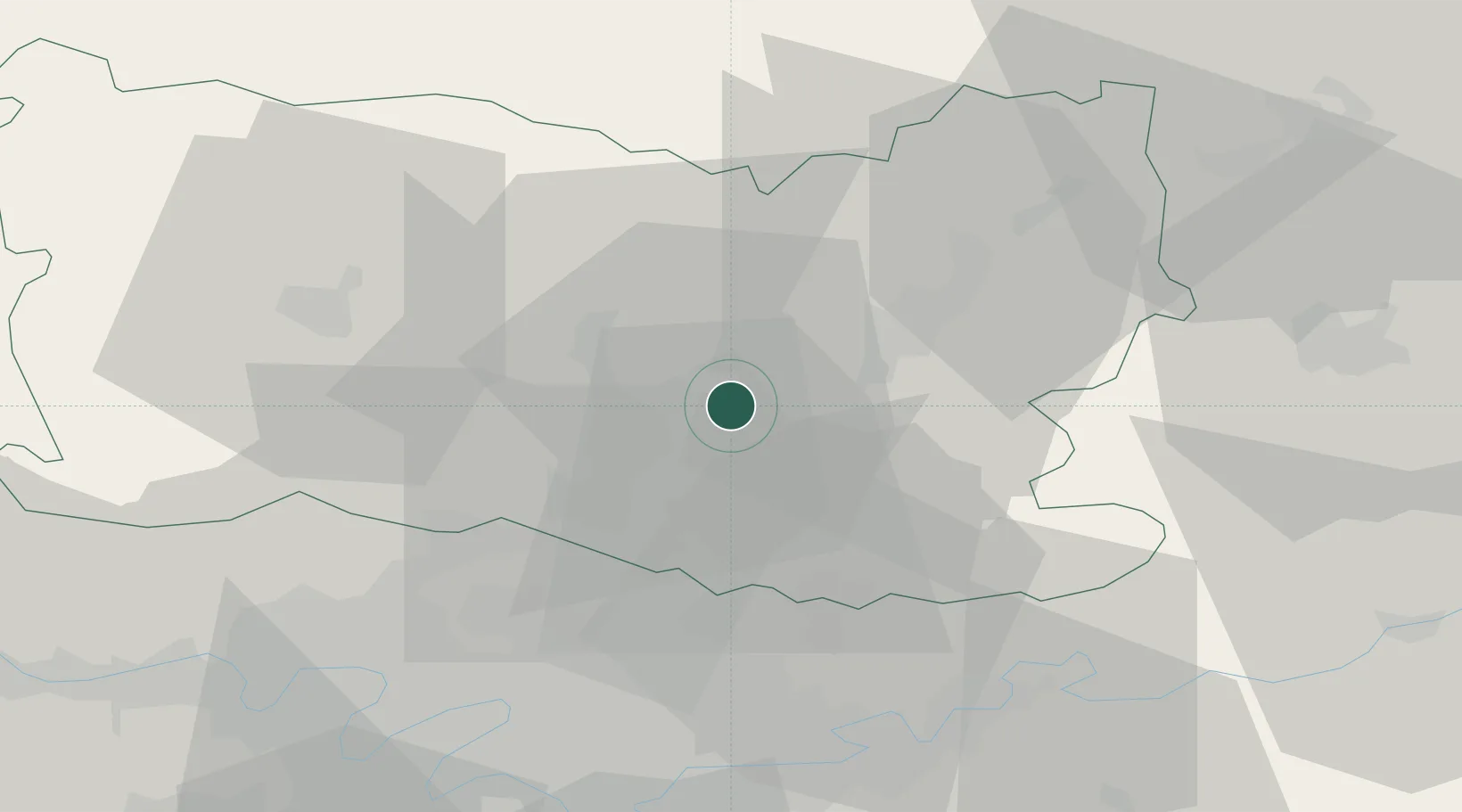
Hub Profile
Place type
Populated place
Region
Hauts-de-France
Population
1,211
Time zone
Europe/Paris
Elevation
31 m
Location
Nearby Logistics Neighbours
Cities
- 1Pont-Sainte-Maxence2 km
- 2Chevrières5 km
- 3Brenouille5 km
- 4Verneuil-en-Halatte9 km
- 5Villers-Saint-Paul9 km
Ports
- 1Port Of Rouen112 km
- 2Saint-Valery-Sur-Somme120 km
- 3Le Treport122 km
- 4Dieppe129 km
- 5Fecamp169 km
Airports
Trade Zones
- 1ZFU Creil et Montataire15 km
- 2ZFU Villiers-le-Bel38 km
- 3ZFU Garges-lès-Gonesse et Sarcelles41 km
- 4ZFU Beauvais42 km
- 5ZFU Sevran42 km
DatabookThe Record of Consolidated Knowledge
France beyond logistics?