UN/LOCODE hub · France
FRPSX
Pont-Sainte-Maxence
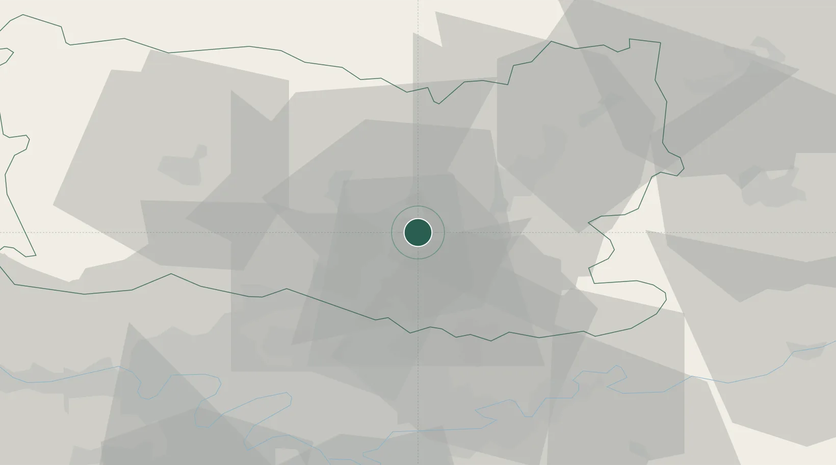
49.3000°, 2.6000°
13,732
Population
3
Transport functions
Transport Functions
Port
Rail
Road
Hub Profile
Place type
Populated place
Region
Hauts-de-France
Population
13,732
Time zone
Europe/Paris
Elevation
37 m
Location
Nearby Logistics Neighbours
Cities
- 1Les Ageux2 km
- 2Brenouille5 km
- 3Chevrières6 km
- 4Verneuil-en-Halatte8 km
- 5Villers-Saint-Paul9 km
Ports
- 1Port Of Rouen112 km
- 2Saint-Valery-Sur-Somme121 km
- 3Le Treport123 km
- 4Dieppe130 km
- 5Fecamp169 km
Airports
Trade Zones
- 1ZFU Creil et Montataire14 km
- 2ZFU Villiers-le-Bel36 km
- 3ZFU Garges-lès-Gonesse et Sarcelles39 km
- 4ZFU Sevran41 km
- 5ZFU Aulnay-sous-Bois41 km
DatabookThe Record of Consolidated Knowledge
France beyond logistics?