UN/LOCODE hub · France
FRVEH
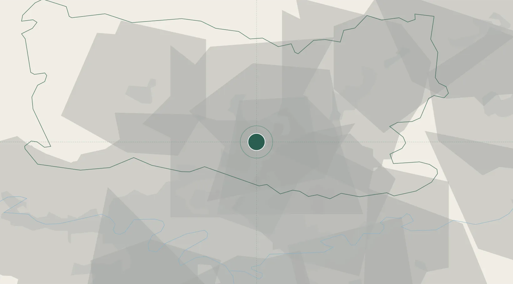
Verneuil-en-Halatte
49.2667°, 2.5000°
4,254
Population
1
Transport functions
Transport Functions
Multimodal
Hub Profile
Place type
Populated place
Region
Hauts-de-France
Population
4,254
Time zone
Europe/Paris
Elevation
38 m
Location
Nearby Logistics Neighbours
Cities
- 1Villers-Saint-Paul2 km
- 2Creil2 km
- 3Nogent-sur-Oise2 km
- 4Brenouille4 km
- 5Monchy-Saint-Éloi4 km
Ports
- 1Port Of Rouen106 km
- 2Saint-Valery-Sur-Somme120 km
- 3Le Treport121 km
- 4Dieppe126 km
- 5Fecamp164 km
Airports
Trade Zones
- 1ZFU Creil et Montataire6 km
- 2ZFU Villiers-le-Bel30 km
- 3ZFU Garges-lès-Gonesse et Sarcelles34 km
- 4ZFU Stains36 km
- 5ZFU Aulnay-sous-Bois36 km
DatabookThe Record of Consolidated Knowledge
France beyond logistics?