UN/LOCODE hub · France
FRNLE
Nissan-lez-Enserune
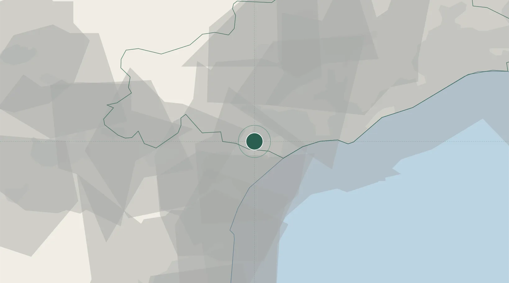
43.2833°, 3.1333°
3,301
Population
1
Transport functions
Transport Functions
Multimodal
Hub Profile
Place type
Populated place
Region
Occitanie
Population
3,301
Time zone
Europe/Paris
Elevation
35 m
Location
Nearby Logistics Neighbours
Cities
- 1Lespignan3 km
- 2Colombiers4 km
- 3Poilhes6 km
- 4Montady6 km
- 5Salles-d'Aude6 km
Ports
- 1Port-La-Nouvelle30 km
- 2Sete48 km
- 3Port-Vendres85 km
- 4Rosas113 km
- 5Port Saint Louis Du Rhone137 km
Airports
Trade Zones
- 1ZFU Béziers9 km
- 2ZFU Montpellier68 km
- 3ZFU Perpignan68 km
- 4ZFU Nîmes115 km
- 5ZFU Toulouse141 km
DatabookThe Record of Consolidated Knowledge
France beyond logistics?