Transport Functions
Multimodal
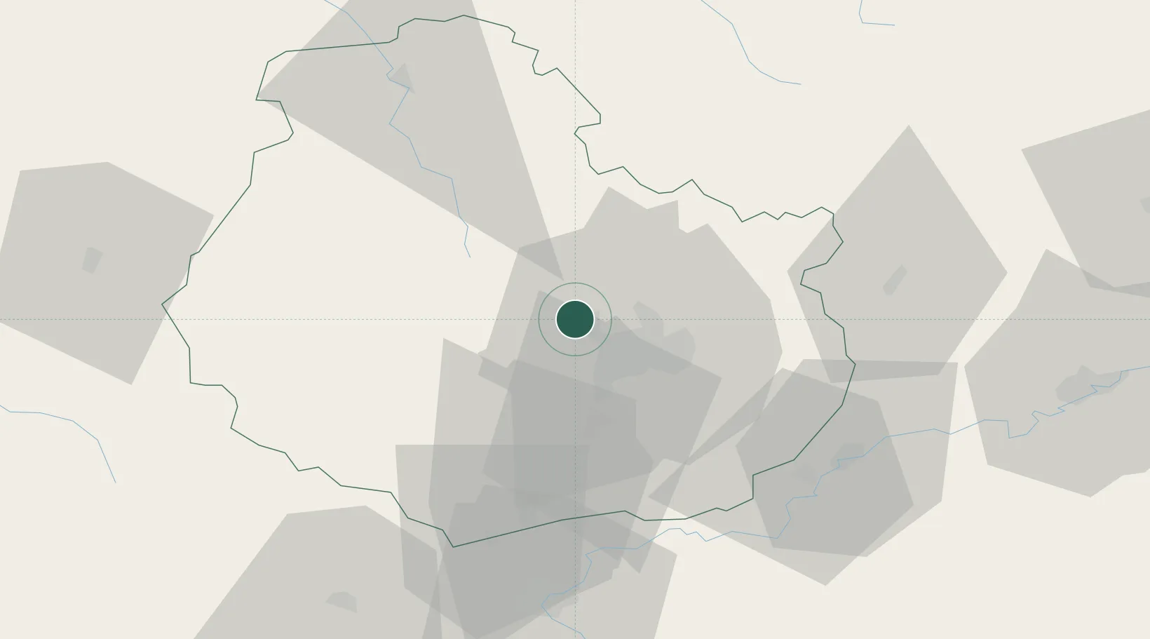
Hub Profile
Place type
Populated place
Region
Bourgogne
Population
364
Time zone
Europe/Paris
Elevation
496 m
Location
Nearby Logistics Neighbours
Cities
- 1Plombières-lès-Dijon6 km
- 2Talant9 km
- 3Fleurey-sur-Ouche10 km
- 4Dijon-Porte Neuve10 km
- 5Baulme-la-Roche11 km
Ports
- 1Port Of Rouen366 km
- 2Bruxelles390 km
- 3Saint-Valery-Sur-Somme395 km
- 4Le Treport397 km
- 5Dieppe400 km
Airports
- 1Dijon Longvic airport17 km
- 2Dole Tavaux Airport54 km
- 3Vesoul-Frotey Airfield100 km
- 4Luxeuil-Saint-Sauveur (BA 116) Air Base116 km
- 5Auxerre Branches airport120 km
Trade Zones
- 1ZFU Chenôve11 km
- 2ZFU Besancon83 km
- 3ZFU La Chapelle Saint-Luc, Les Noës-près-Troyes, Troyes, Sainte-Savine122 km
- 4ZFU Saint-Dizier139 km
- 5ZFU Montbéliard140 km
DatabookThe Record of Consolidated Knowledge
France beyond logistics?