UN/LOCODE hub · France
FRPD2

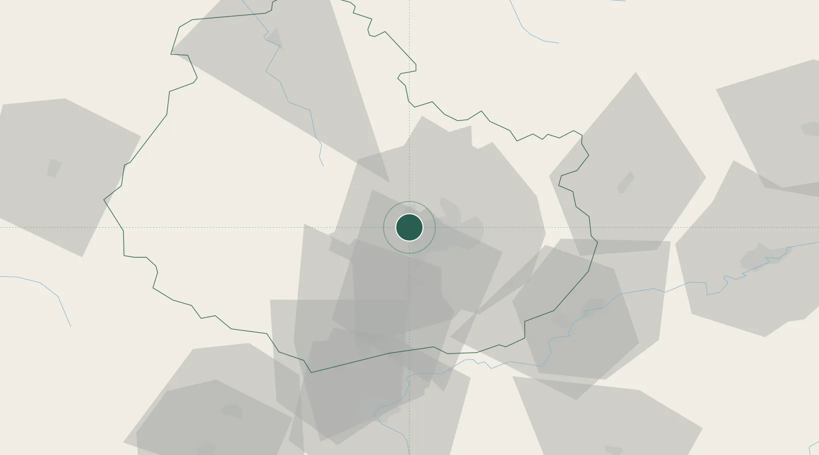
Plombières-lès-Dijon

47.3333°, 4.9667°
2,688
Population
2
Transport functions

Transport Functions

Port
Multimodal
UN/LOCODE

Hub Profile

Place type
Populated place
GeoNames
Region
Bourgogne
GeoNames
Population
2,688
GeoNames
Time zone
Europe/Paris
GeoNames
Elevation
372 m
GeoNames

Location

Location of FRPD2
Natural Earth 10m (public domain) · Bourgogne · FRPD2 · 47.33, 4.97GoogleOSMYandex

Nearby Logistics Neighbours

Cities
  1. 1Talant3 km
  2. 2Darois6 km
  3. 3Dijon-Porte Neuve6 km
  4. 4Flavignerot7 km
  5. 5Fleurey-sur-Ouche9 km
Nearest neighbours — logibook spatial index (haversine) over the source coordinates
Ports
  1. 1Port Of Rouen372 km
  2. 2Bruxelles395 km
  3. 3Saint-Valery-Sur-Somme401 km
  4. 4Le Treport403 km
  5. 5Dieppe406 km
Nearest neighbours — logibook spatial index (haversine) over the source coordinates
Airports
  1. 1Dijon Longvic airport12 km
  2. 2Dole Tavaux Airport48 km
  3. 3Vesoul-Frotey Airfield99 km
  4. 4Luxeuil-Saint-Sauveur (BA 116) Air Base116 km
  5. 5Mâcon-Charnay Airfield116 km
Nearest neighbours — logibook spatial index (haversine) over the source coordinates
Trade Zones
  1. 1ZFU Chenôve5 km
  2. 2ZFU Besancon79 km
  3. 3ZFU La Chapelle Saint-Luc, Les Noës-près-Troyes, Troyes, Sainte-Savine129 km
  4. 4ZFU Montbéliard138 km
  5. 5PESA - Port-Franc et Entrepôts de Lausanne-Chavornay SA139 km
Nearest neighbours — logibook spatial index (haversine) over the source coordinates
DatabookThe Record of Consolidated Knowledge
France beyond logistics?
Browse databook

All Sources

LocationsUN/LOCODE
UN/LOCODE — free
LocationsGeoNames
CC BY 4.0
Portsthe NGA World Port Index
Public domain (US gov)
AirportsOurAirports
Public domain
Trade Zonesthe World Bank SEZ database
CC BY 4.0
Trade ZonesOpen Zone Map
CC BY
← France locations