Transport Functions
Road
Multimodal
Hub Profile
Place type
Populated place
Region
Bourgogne
Population
12,082
Time zone
Europe/Paris
Elevation
311 m
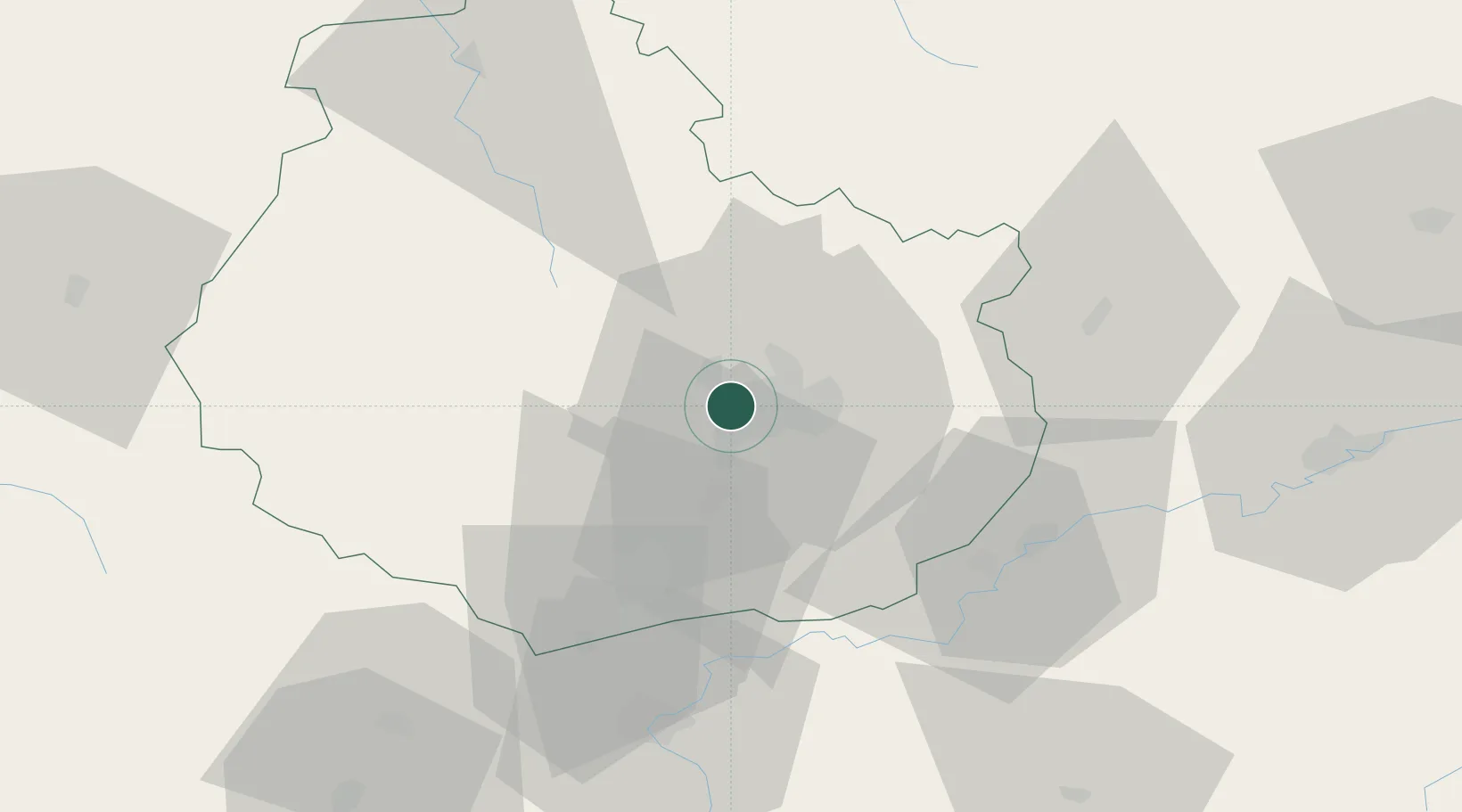
Location
Nearby Logistics Neighbours
Cities
- 1Plombières-lès-Dijon3 km
- 2Dijon-Porte Neuve4 km
- 3Dijon7 km
- 4Flavignerot7 km
- 5Perrigny-lès-Dijon8 km
Ports
- 1Port Of Rouen375 km
- 2Bruxelles398 km
- 3Saint-Valery-Sur-Somme404 km
- 4Le Treport406 km
- 5Dieppe409 km
Airports
- 1Dijon Longvic airport9 km
- 2Dole Tavaux Airport45 km
- 3Vesoul-Frotey Airfield97 km
- 4Luxeuil-Saint-Sauveur (BA 116) Air Base114 km
- 5Mâcon-Charnay Airfield115 km
Trade Zones
DatabookThe Record of Consolidated Knowledge
France beyond logistics?