UN/LOCODE hub · France
FRPTN

Dijon-Porte Neuve

47.3333°, 5.0500°
1
Transport functions

Transport Functions

Rail
UN/LOCODE

Hub Profile

Region
21
GeoNames

Location

Location of FRPTN
Natural Earth 10m (public domain) · 21 · FRPTN · 47.33, 5.05GoogleOSMYandex

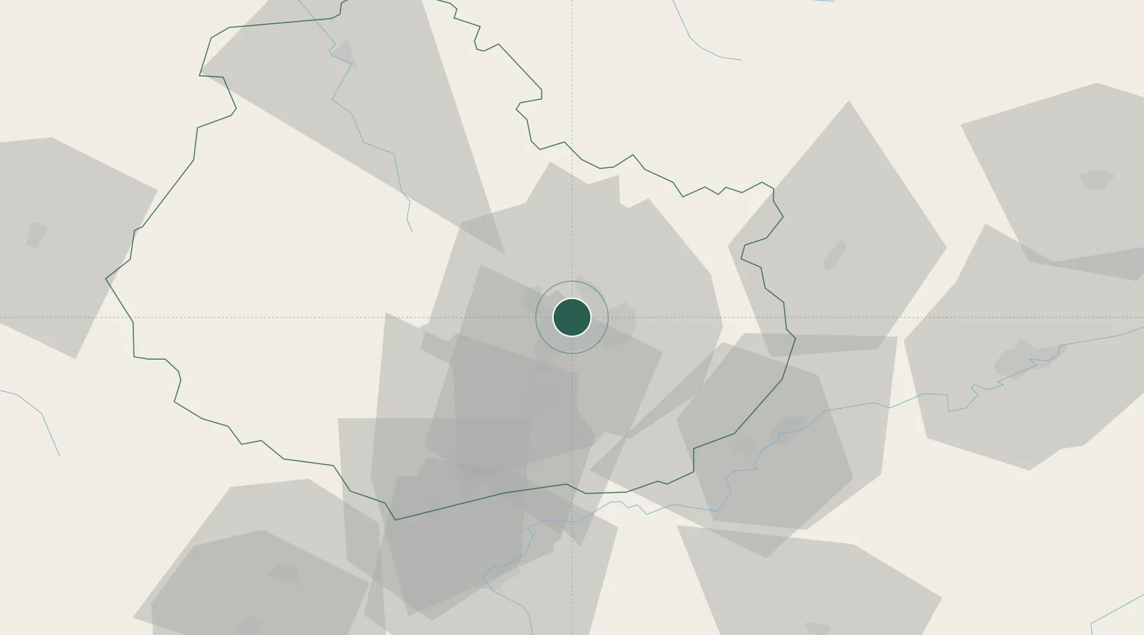
Nearby Logistics Neighbours

Cities
  1. 1Talant4 km
  2. 2Ruffey-lès-Echirey5 km
  3. 3Plombières-lès-Dijon6 km
  4. 4Neuilly-lès-Dijon7 km
  5. 5Bretigny8 km
Nearest neighbours — logibook spatial index (haversine) over the source coordinates
Ports
  1. 1Port Of Rouen377 km
  2. 2Bruxelles396 km
  3. 3Saint-Valery-Sur-Somme405 km
  4. 4Le Treport407 km
  5. 5Dieppe410 km
Nearest neighbours — logibook spatial index (haversine) over the source coordinates
Airports
  1. 1Dijon Longvic airport8 km
  2. 2Dole Tavaux Airport43 km
  3. 3Vesoul-Frotey Airfield93 km
  4. 4Luxeuil-Saint-Sauveur (BA 116) Air Base110 km
  5. 5Mâcon-Charnay Airfield117 km
Nearest neighbours — logibook spatial index (haversine) over the source coordinates
Trade Zones
  1. 1ZFU Chenôve7 km
  2. 2ZFU Besancon73 km
  3. 3ZFU La Chapelle Saint-Luc, Les Noës-près-Troyes, Troyes, Sainte-Savine132 km
  4. 4ZFU Montbéliard132 km
  5. 5PESA - Port-Franc et Entrepôts de Lausanne-Chavornay SA134 km
Nearest neighbours — logibook spatial index (haversine) over the source coordinates
DatabookThe Record of Consolidated Knowledge
France beyond logistics?
Browse databook

All Sources

LocationsUN/LOCODE
UN/LOCODE — free
Portsthe NGA World Port Index
Public domain (US gov)
AirportsOurAirports
Public domain
Trade Zonesthe World Bank SEZ database
CC BY 4.0
Trade ZonesOpen Zone Map
CC BY
← France locations