Transport Functions
Multimodal
Hub Profile
Place type
Populated place
Region
Occitanie
Population
541
Time zone
Europe/Paris
Elevation
333 m
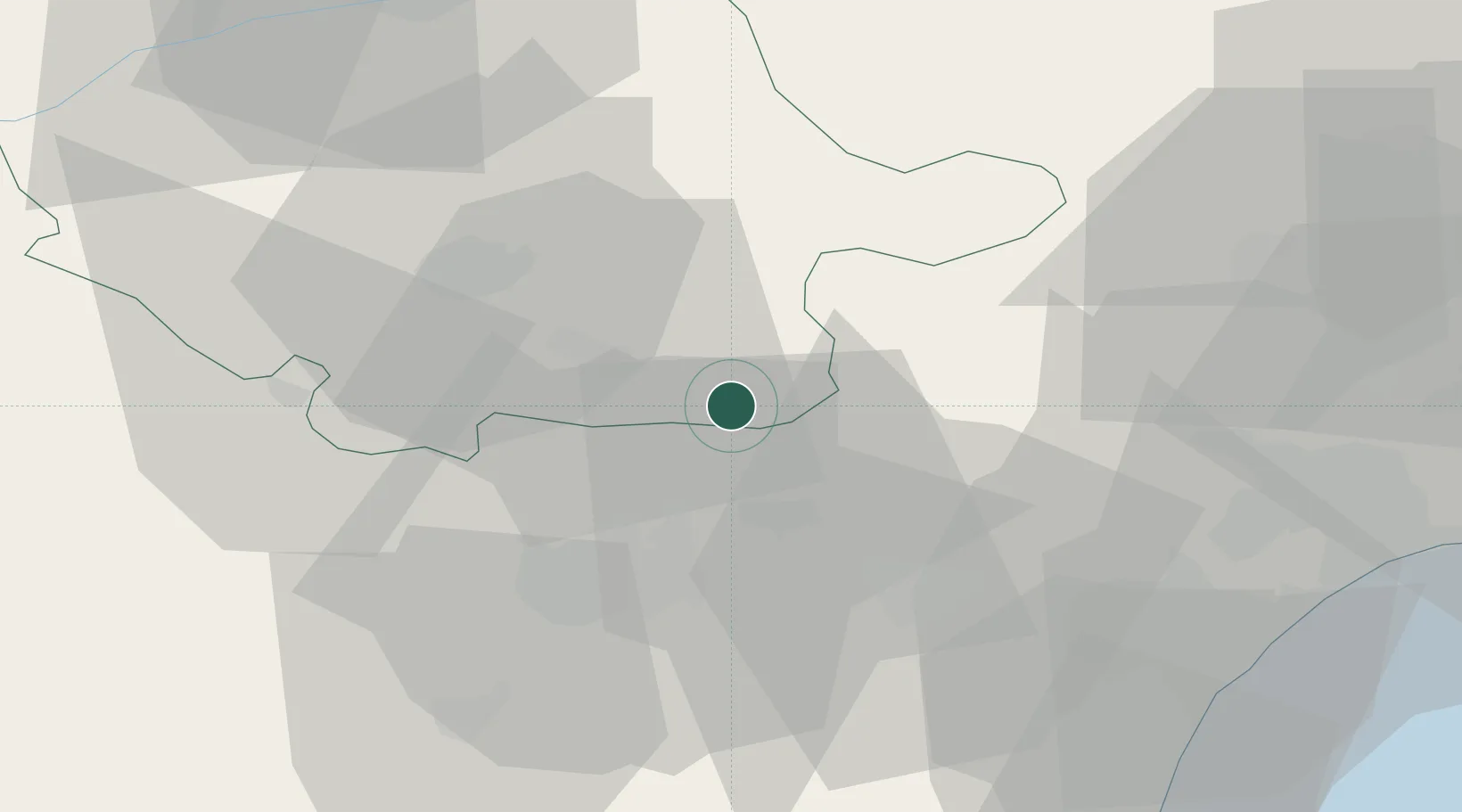
Location
Nearby Logistics Neighbours
Cities
- 1Caunes-Minervois13 km
- 2Félines-Minervois14 km
- 3Trausse15 km
- 4Villeneuve-Minervois16 km
- 5Aiguefonde17 km
Ports
- 1Port-La-Nouvelle65 km
- 2Sete94 km
- 3Port-Vendres114 km
- 4Rosas142 km
- 5Port Saint Louis Du Rhone185 km
Airports
Trade Zones
- 1ZFU Béziers57 km
- 2ZFU Perpignan88 km
- 3ZFU Toulouse90 km
- 4ZFU Montpellier107 km
- 5ZFU Nîmes152 km
DatabookThe Record of Consolidated Knowledge
France beyond logistics?