Transport Functions
Multimodal
Hub Profile
Place type
Populated place
Region
Rhône-Alpes
Time zone
Europe/Paris
Elevation
696 m
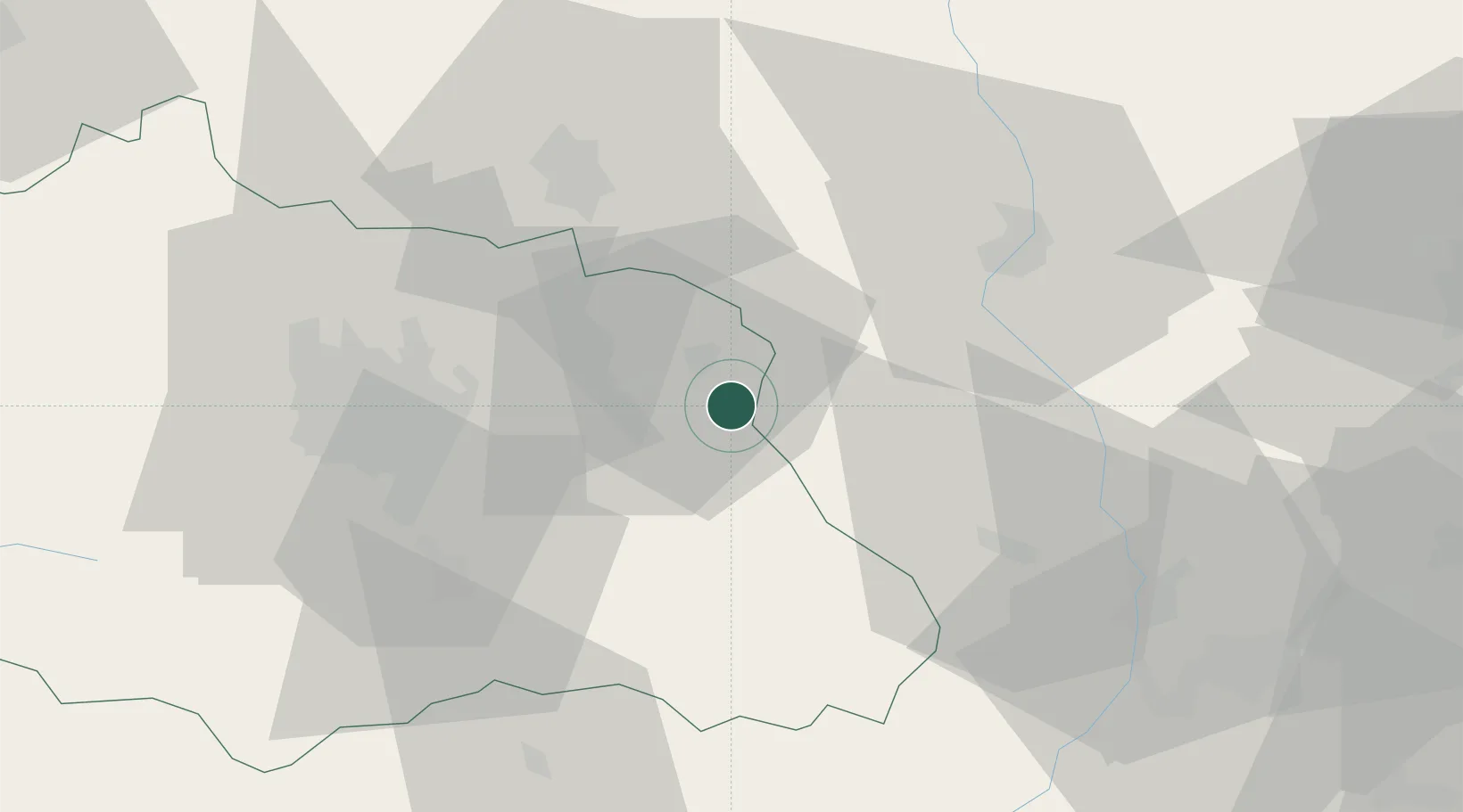
Location
Nearby Logistics Neighbours
Cities
- 1Celles-sur-Durolle5 km
- 2Saint-Julien-la-Vêtre12 km
- 3Courpière13 km
- 4Dorat16 km
- 5Glaine-Montaigut22 km
Ports
- 1Sete269 km
- 2Fos284 km
- 3Port Saint Louis Du Rhone286 km
- 4Port-de-Bouc288 km
- 5Marseille309 km
Airports
Trade Zones
- 1ZFU Clermont-Ferrand46 km
- 2ZFU Saint-Etienne66 km
- 3ZFU Lyon 9e89 km
- 4ZFU Rillieux-la-Pape93 km
- 5ZFU Vénissieux93 km
DatabookThe Record of Consolidated Knowledge
France beyond logistics?