Transport Functions
Rail
Road
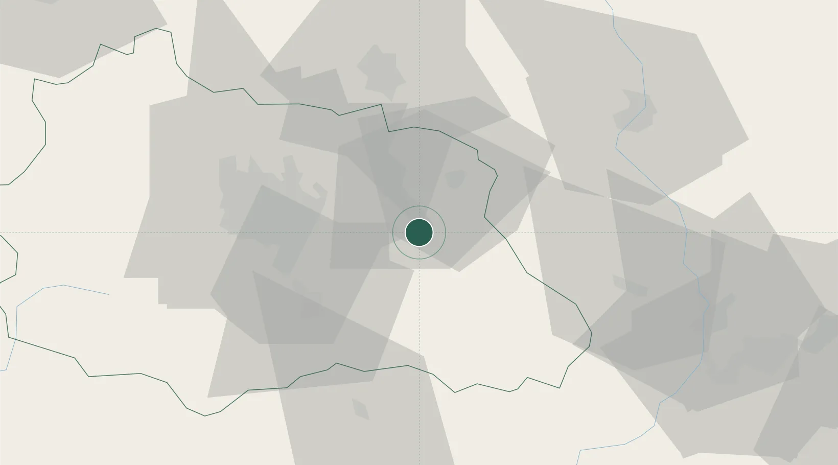
Hub Profile
Place type
Populated place
Region
Rhône-Alpes
Population
4,918
Time zone
Europe/Paris
Elevation
317 m
Location
Nearby Logistics Neighbours
Cities
- 1Glaine-Montaigut10 km
- 2Viscomtat13 km
- 3Celles-sur-Durolle14 km
- 4Dorat15 km
- 5Seychalles17 km
Ports
- 1Sete262 km
- 2Fos281 km
- 3Port Saint Louis Du Rhone282 km
- 4Port-de-Bouc285 km
- 5Port-La-Nouvelle306 km
Airports
Trade Zones
- 1ZFU Clermont-Ferrand36 km
- 2ZFU Saint-Etienne70 km
- 3ZFU Lyon 9e99 km
- 4ZFU Vénissieux102 km
- 5ZFU Rillieux-la-Pape103 km
DatabookThe Record of Consolidated Knowledge
France beyond logistics?