UN/LOCODE hub · France
FRCS6
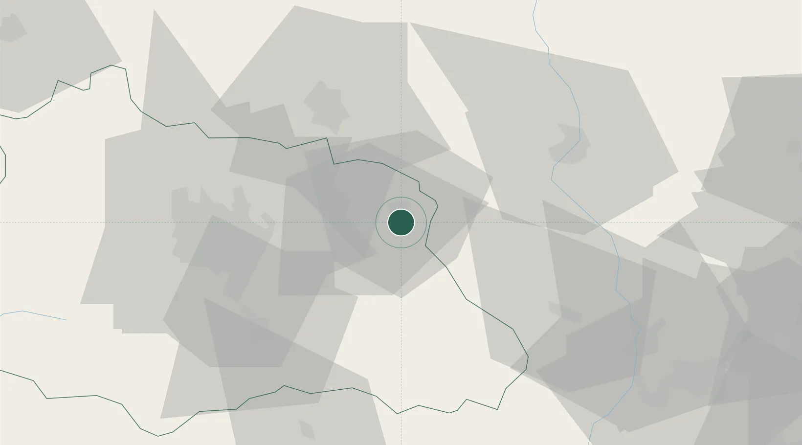
Celles-sur-Durolle
45.8500°, 3.6333°
2,011
Population
1
Transport functions
Transport Functions
Multimodal
Hub Profile
Place type
Populated place
Region
Rhône-Alpes
Population
2,011
Time zone
Europe/Paris
Elevation
668 m
Location
Nearby Logistics Neighbours
Cities
- 1Viscomtat5 km
- 2Dorat12 km
- 3Courpière14 km
- 4Saint-Julien-la-Vêtre15 km
- 5Glaine-Montaigut21 km
Ports
- 1Sete273 km
- 2Fos288 km
- 3Port Saint Louis Du Rhone290 km
- 4Port-de-Bouc293 km
- 5Marseille313 km
Airports
Trade Zones
- 1ZFU Clermont-Ferrand44 km
- 2ZFU Saint-Etienne70 km
- 3ZFU Lyon 9e91 km
- 4ZFU Rillieux-la-Pape95 km
- 5ZFU Vénissieux96 km
DatabookThe Record of Consolidated Knowledge
France beyond logistics?