Transport Functions
Rail
Road
Hub Profile
Place type
Populated place
Region
Rhône-Alpes
Population
608
Time zone
Europe/Paris
Elevation
290 m
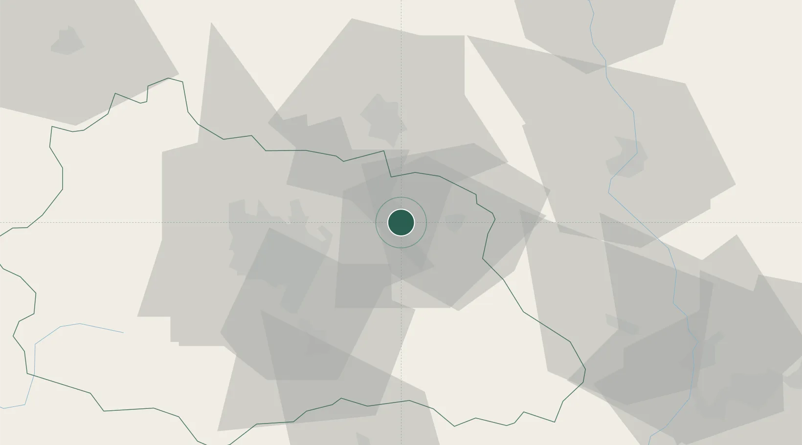
Location
Nearby Logistics Neighbours
Cities
- 1Celles-sur-Durolle12 km
- 2Joze13 km
- 3Clermont-Ferrand13 km
- 4Seychalles15 km
- 5Courpière15 km
Ports
- 1Sete277 km
- 2Fos296 km
- 3Port Saint Louis Du Rhone297 km
- 4Port-de-Bouc301 km
- 5Port-La-Nouvelle321 km
Airports
Trade Zones
- 1ZFU Clermont-Ferrand33 km
- 2ZFU Saint-Etienne81 km
- 3ZFU Lyon 9e103 km
- 4ZFU Rillieux-la-Pape107 km
- 5ZFU Vénissieux108 km
DatabookThe Record of Consolidated Knowledge
France beyond logistics?