UN/LOCODE hub · France
FRJLV

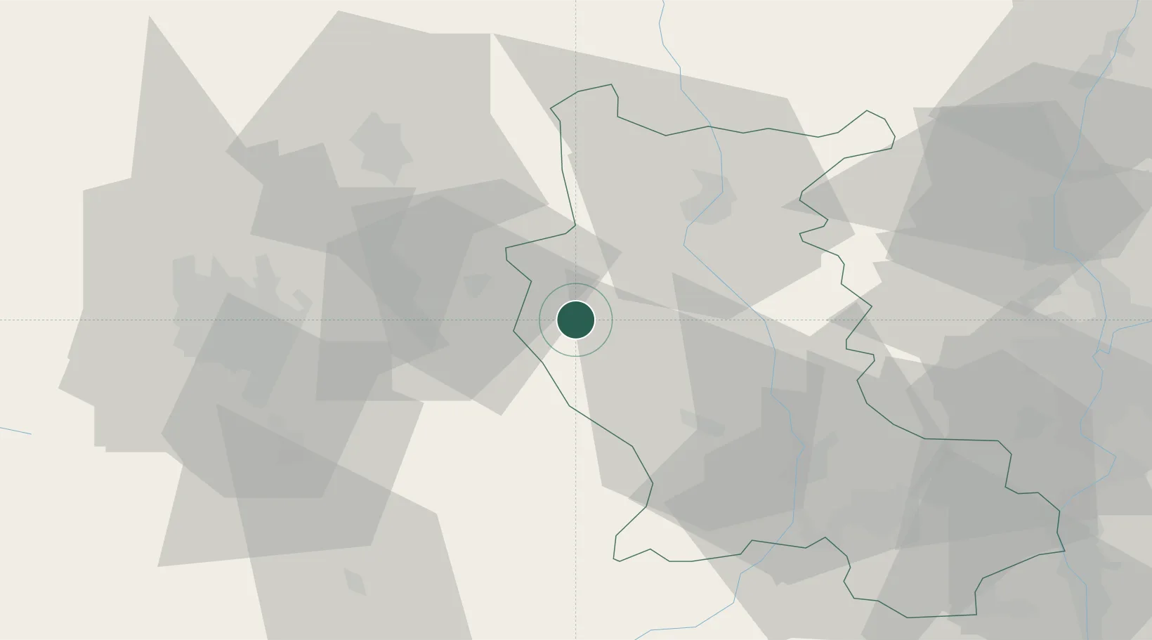
Saint-Julien-la-Vêtre

45.8167°, 3.8167°
455
Population
2
Transport functions

Transport Functions

Rail
Road
UN/LOCODE

Hub Profile

Place type
Populated place
GeoNames
Region
Rhône-Alpes
GeoNames
Population
455
GeoNames
Time zone
Europe/Paris
GeoNames
Elevation
599 m
GeoNames

Location

Location of FRJLV
Natural Earth 10m (public domain) · Rhône-Alpes · FRJLV · 45.82, 3.82GoogleOSMYandex

Nearby Logistics Neighbours

Cities
  1. 1Viscomtat12 km
  2. 2Celles-sur-Durolle15 km
  3. 3Sail-sous-Couzan15 km
  4. 4Villemontais21 km
  5. 5Marcilly-le-Châtel22 km
Nearest neighbours — logibook spatial index (haversine) over the source coordinates
Ports
  1. 1Sete269 km
  2. 2Fos280 km
  3. 3Port Saint Louis Du Rhone282 km
  4. 4Port-de-Bouc284 km
  5. 5Marseille304 km
Nearest neighbours — logibook spatial index (haversine) over the source coordinates
Airports
  1. 1Roanne-Renaison Airport30 km
  2. 2Saint-Étienne-Bouthéon Airport48 km
  3. 3Clermont-Ferrand Auvergne airport50 km
  4. 4Vichy-Charmeil Airport51 km
  5. 5Saint-Yan Airport68 km
Nearest neighbours — logibook spatial index (haversine) over the source coordinates
Trade Zones
  1. 1ZFU Clermont-Ferrand57 km
  2. 2ZFU Saint-Etienne57 km
  3. 3ZFU Lyon 9e77 km
  4. 4ZFU Rillieux-la-Pape81 km
  5. 5ZFU Vénissieux81 km
Nearest neighbours — logibook spatial index (haversine) over the source coordinates
DatabookThe Record of Consolidated Knowledge
France beyond logistics?
Browse databook

All Sources

LocationsUN/LOCODE
UN/LOCODE — free
LocationsGeoNames
CC BY 4.0
Portsthe NGA World Port Index
Public domain (US gov)
AirportsOurAirports
Public domain
Trade Zonesthe World Bank SEZ database
CC BY 4.0
Trade ZonesOpen Zone Map
CC BY
← France locations