Transport Functions
Road
Multimodal
Hub Profile
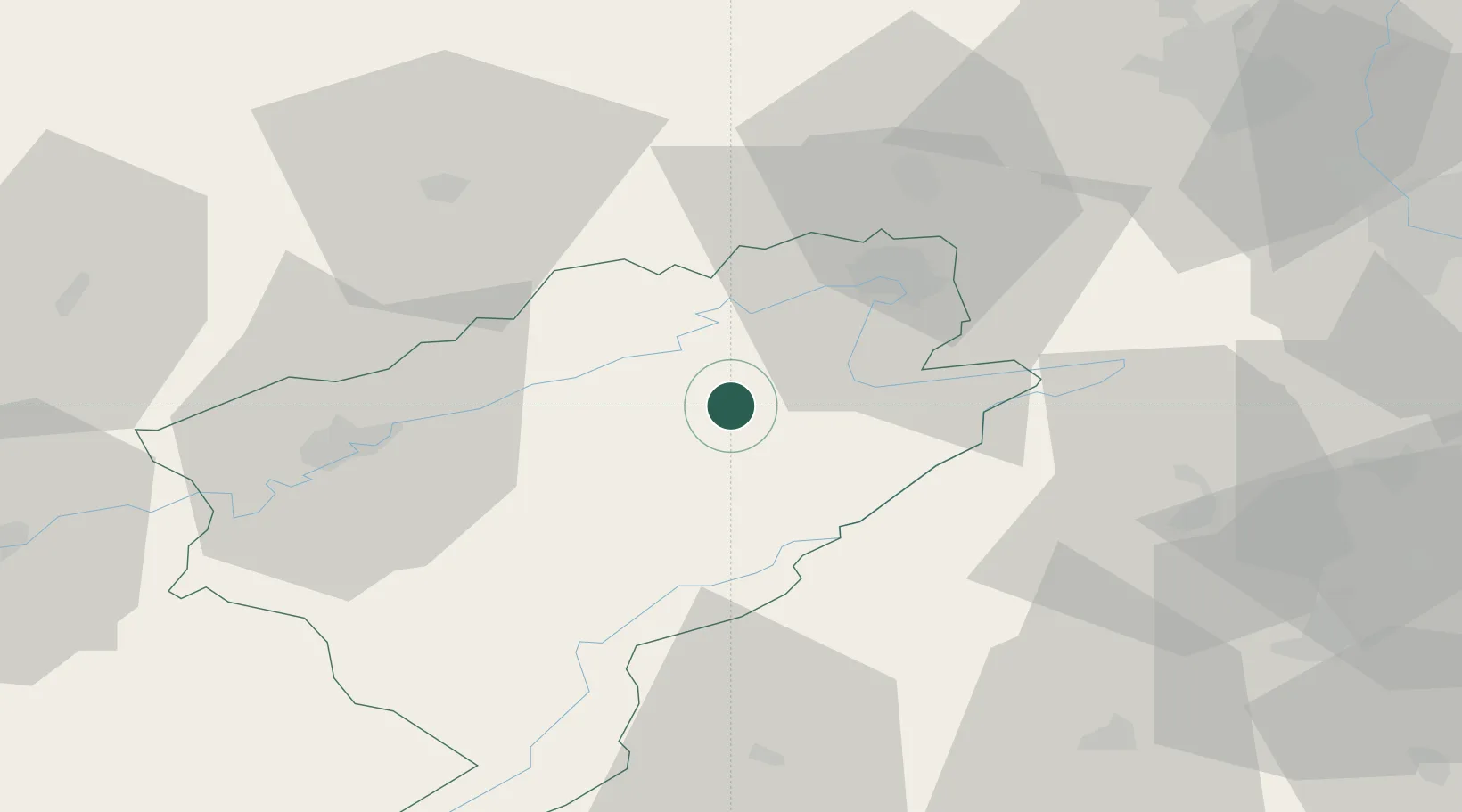
Place type
Populated place
Region
Bourgogne
Population
1,085
Time zone
Europe/Paris
Elevation
503 m
Location
Nearby Logistics Neighbours
Cities
- 1Santoche12 km
- 2Saint-Maurice-Colombier15 km
- 3Vermondans16 km
- 4Pont-de-Roide17 km
- 5Le Russey19 km
Ports
- 1Savona363 km
- 2Rada Di Vado367 km
- 3Genova370 km
- 4Chiavari - Lavagna395 km
- 5Imperia396 km
Airports
Trade Zones
- 1ZFU Montbéliard27 km
- 2ZFU Belfort42 km
- 3ZFU Besancon44 km
- 4PESA - Port-Franc et Entrepôts de Lausanne-Chavornay SA66 km
- 5ZFU Mulhouse76 km
DatabookThe Record of Consolidated Knowledge
France beyond logistics?