Transport Functions
Port
Hub Profile
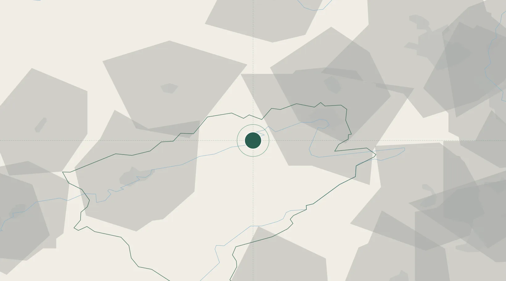
Place type
Populated place
Region
Bourgogne
Population
90
Time zone
Europe/Paris
Elevation
283 m
Location
Nearby Logistics Neighbours
Cities
- 1Saint-Maurice-Colombier10 km
- 2Sancey-le-Grand12 km
- 3Vermondans18 km
- 4Pont-de-Roide19 km
- 5Mandeure22 km
Ports
- 1Savona376 km
- 2Rada Di Vado380 km
- 3Genova382 km
- 4Chiavari - Lavagna407 km
- 5Imperia408 km
Airports
Trade Zones
- 1ZFU Montbéliard23 km
- 2ZFU Belfort35 km
- 3ZFU Besancon42 km
- 4ZFU Mulhouse73 km
- 5PESA - Port-Franc et Entrepôts de Lausanne-Chavornay SA77 km
DatabookThe Record of Consolidated Knowledge
France beyond logistics?