UN/LOCODE hub · France
FRNMO

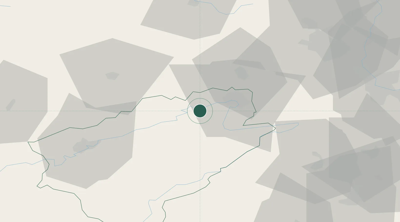
Saint-Maurice-Colombier

47.4333°, 6.6333°
750
Population
2
Transport functions

Transport Functions

Rail
Road
UN/LOCODE

Hub Profile

Place type
Populated place
GeoNames
Region
Bourgogne
GeoNames
Population
750
GeoNames
Time zone
Europe/Paris
GeoNames
Elevation
297 m
GeoNames

Location

Location of FRNMO
Natural Earth 10m (public domain) · Bourgogne · FRNMO · 47.43, 6.63GoogleOSMYandex

Nearby Logistics Neighbours

Cities
  1. 1Santoche10 km
  2. 2Vermondans10 km
  3. 3Pont-de-Roide12 km
  4. 4Mandeure13 km
  5. 5Bethoncourt15 km
Nearest neighbours — logibook spatial index (haversine) over the source coordinates
Ports
  1. 1Savona376 km
  2. 2Rada Di Vado379 km
  3. 3Genova381 km
  4. 4Chiavari - Lavagna406 km
  5. 5Imperia409 km
Nearest neighbours — logibook spatial index (haversine) over the source coordinates
Airports
  1. 1Montbéliard-Courcelles Airfield13 km
  2. 2Vesoul-Frotey Airfield40 km
  3. 3Les Eplatures Airport41 km
  4. 4Luxeuil-Saint-Sauveur (BA 116) Air Base45 km
  5. 5Grenchen Airfield65 km
Nearest neighbours — logibook spatial index (haversine) over the source coordinates
Trade Zones
  1. 1ZFU Montbéliard14 km
  2. 2ZFU Belfort27 km
  3. 3ZFU Besancon52 km
  4. 4ZFU Mulhouse63 km
  5. 5PESA - Port-Franc et Entrepôts de Lausanne-Chavornay SA81 km
Nearest neighbours — logibook spatial index (haversine) over the source coordinates
DatabookThe Record of Consolidated Knowledge
France beyond logistics?
Browse databook

All Sources

LocationsUN/LOCODE
UN/LOCODE — free
LocationsGeoNames
CC BY 4.0
Portsthe NGA World Port Index
Public domain (US gov)
AirportsOurAirports
Public domain
Trade Zonesthe World Bank SEZ database
CC BY 4.0
Trade ZonesOpen Zone Map
CC BY
← France locations