Transport Functions
Multimodal
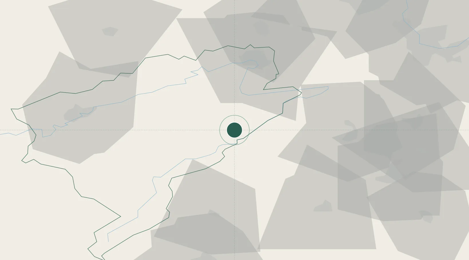
Hub Profile
Place type
Populated place
Region
Bourgogne
Population
1,936
Time zone
Europe/Paris
Elevation
882 m
Location
Nearby Logistics Neighbours
Cities
- 1La Chaux-de-Fonds10 km
- 2Le Crêt-du-Locle12 km
- 3La Sagne14 km
- 4Morteau16 km
- 5Montlebon17 km
Ports
- 1Savona345 km
- 2Rada Di Vado349 km
- 3Genova352 km
- 4Chiavari - Lavagna376 km
- 5Imperia379 km
Airports
- 1Les Eplatures Airport10 km
- 2Montbéliard-Courcelles Airfield36 km
- 3Payerne Air Base39 km
- 4Grenchen Airfield52 km
- 5Bern Airport65 km
Trade Zones
- 1ZFU Montbéliard38 km
- 2PESA - Port-Franc et Entrepôts de Lausanne-Chavornay SA52 km
- 3ZFU Belfort54 km
- 4ZFU Besancon55 km
- 5Port Franc Vevey79 km
DatabookThe Record of Consolidated Knowledge
France beyond logistics?