Transport Functions
Road
Multimodal
Hub Profile
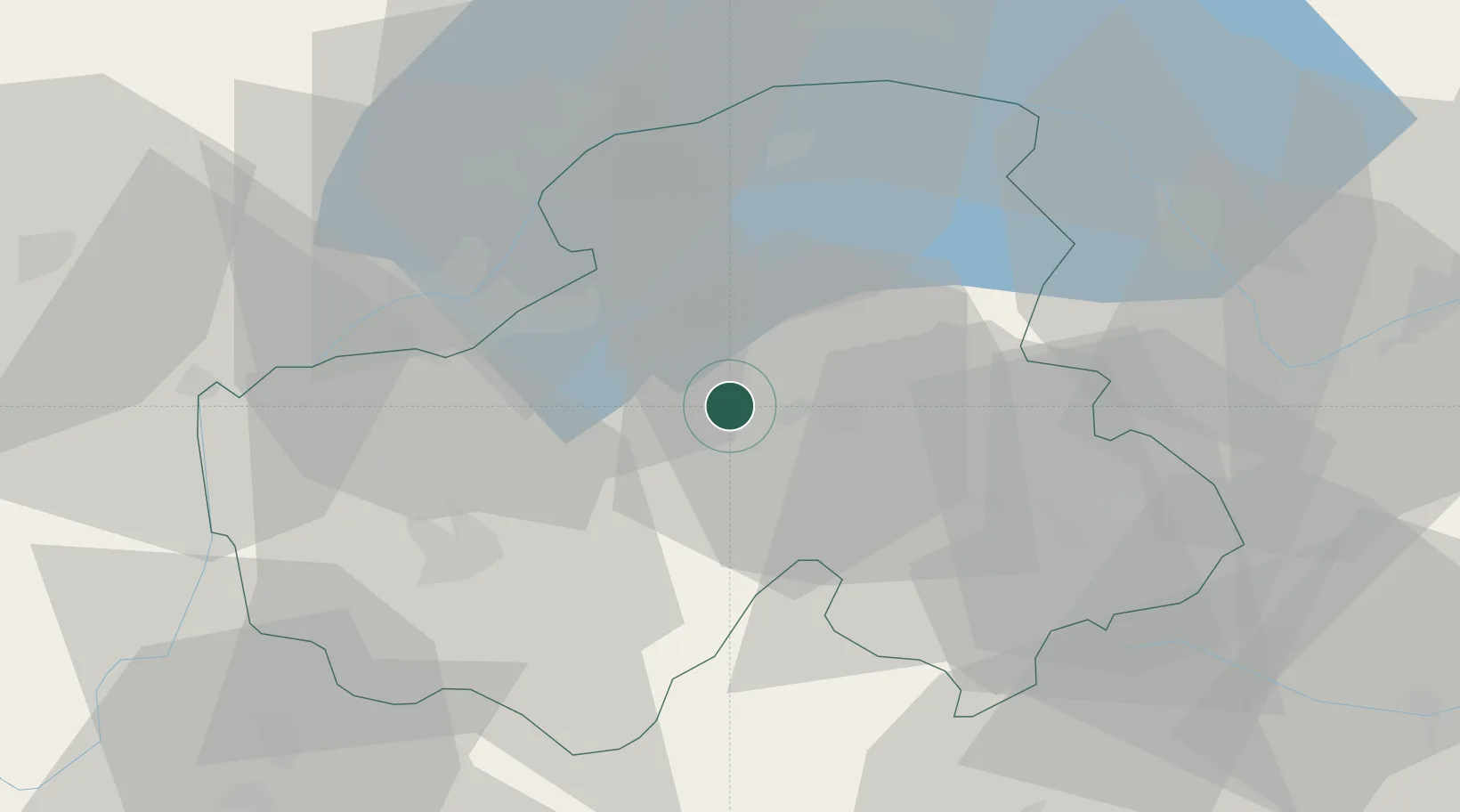
Place type
Populated place
Region
Rhône-Alpes
Population
2,024
Time zone
Europe/Paris
Elevation
510 m
Location
Nearby Logistics Neighbours
Cities
- 1Marignier7 km
- 2Amancy8 km
- 3Cluses11 km
- 4Reignier-Ésery14 km
- 5Vétraz-Monthoux16 km
Ports
- 1Savona255 km
- 2Rada Di Vado257 km
- 3Genova270 km
- 4Monaco273 km
- 5Nice273 km
Airports
- 1Annemasse Airfield18 km
- 2Geneva Cointrin International Airport30 km
- 3Annecy Meythet airport31 km
- 4Chambéry Aix les Bains airport66 km
- 5Sion Airport71 km
Trade Zones
DatabookThe Record of Consolidated Knowledge
France beyond logistics?