Transport Functions
Rail
Road
Hub Profile
Place type
Populated place
Region
Rhône-Alpes
Population
5,883
Time zone
Europe/Paris
Elevation
473 m
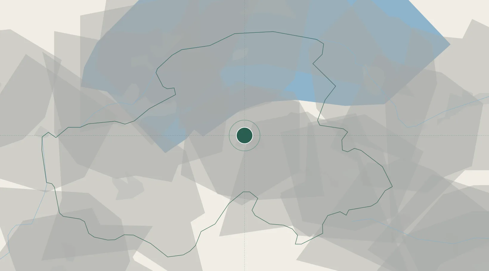
Location
Nearby Logistics Neighbours
Cities
- 1Ayse7 km
- 2Cluses7 km
- 3Amancy15 km
- 4Reignier-Ésery20 km
- 5Lucinges20 km
Ports
- 1Savona252 km
- 2Rada Di Vado254 km
- 3Genova267 km
- 4Monaco273 km
- 5San Remo273 km
Airports
- 1Annemasse Airfield22 km
- 2Geneva Cointrin International Airport35 km
- 3Annecy Meythet airport38 km
- 4Sion Airport64 km
- 5Chambéry Aix les Bains airport71 km
Trade Zones
DatabookThe Record of Consolidated Knowledge
France beyond logistics?