Transport Functions
Rail
Road
Multimodal
Hub Profile
Place type
Populated place
Region
Rhône-Alpes
Population
1,949
Time zone
Europe/Paris
Elevation
475 m
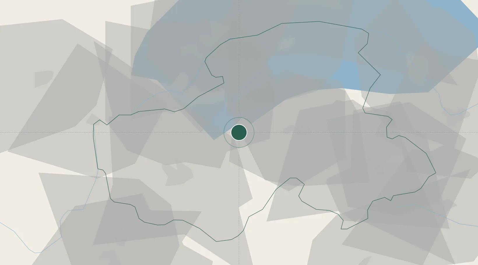
Location
Nearby Logistics Neighbours
Cities
- 1Ayse8 km
- 2Reignier-Ésery9 km
- 3Vétraz-Monthoux12 km
- 4Marignier15 km
- 5Lucinges15 km
Ports
- 1Savona258 km
- 2Rada Di Vado260 km
- 3Monaco273 km
- 4Nice274 km
- 5Villefranche274 km
Airports
Trade Zones
DatabookThe Record of Consolidated Knowledge
France beyond logistics?