Medium airport · France

Chambéry Aix les Bains airportLFLB
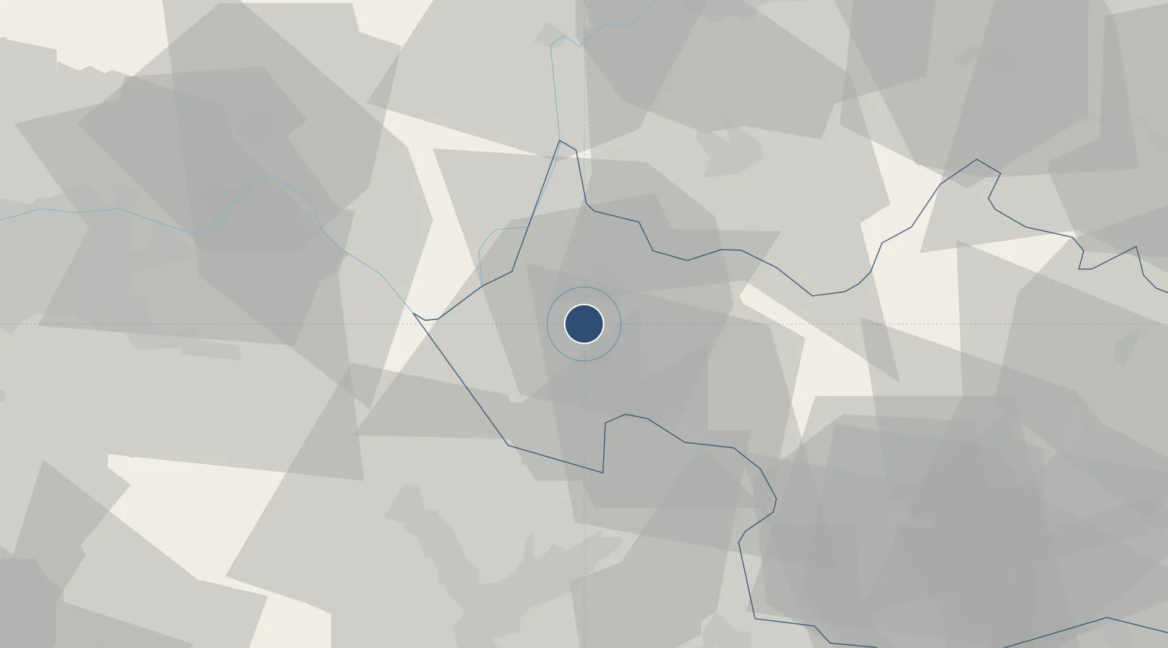
45.6381°, 5.8802°
6,628 ft
Longest runway
1
Runways
779 ft
Elevation

Runway & Layout

Chambéry Aix les Bains airport runway & taxiway layout
Runway & taxiway layout — OpenStreetMap (ODbL) / OurAirports

Radio Frequencies

ATIS
124.575 MHz
CHAMBERY ATIS
TWR
118.3 MHz
CHAMBERY TWR
APP
123.7 MHz
CHAMBERY APP
OurAirports

Runways · 1

RunwayDimensions SurfaceTrue headingLit
18/36 6,628 × 148ft Asphalt 176°
OurAirports

Airport Specifications

IATA code
CMF
OurAirports
ICAO code
LFLB
OurAirports
Airport class
Medium airport
OurAirports
Scheduled service
Yes
OurAirports
Runway surface
Asphalt
OurAirports
Served city
Chambéry
OurAirports

Location

Location of LFLB
Natural Earth 10m (public domain) · Savoie · LFLB · 45.64, 5.88GoogleOSMYandex

Nearby Logistics Neighbours

Airports
  1. 1Annecy Meythet airport37 km
  2. 2Grenoble Alpes Isère Airport53 km
  3. 3Ambérieu Air Base (BA 278)58 km
  4. 4Lyon Saint-Exupéry Airport62 km
  5. 5Annemasse Airfield69 km
Nearest neighbours — logibook spatial index (haversine) over the source coordinates
Cities
  1. 1Drumettaz-Clarafond4 km
  2. 2Aix-les-Bains6 km
  3. 3Chambéry8 km
  4. 4Grésy-sur-Aix10 km
  5. 5Fléac10 km
Nearest neighbours — logibook spatial index (haversine) over the source coordinates
Ports
  1. 1Nice242 km
  2. 2Villefranche244 km
  3. 3Monaco244 km
  4. 4Cannes249 km
  5. 5Antibes249 km
Nearest neighbours — logibook spatial index (haversine) over the source coordinates
Trade Zones
  1. 1ZFU Grenoble53 km
  2. 2Port Franc de Geneve63 km
  3. 3Geneva Freeport, La Praille, Geneva64 km
  4. 4Geneva Cointrin International Airport Free Port66 km
  5. 5Aosta Valley73 km
Nearest neighbours — logibook spatial index (haversine) over the source coordinates
DatabookThe Record of Consolidated Knowledge
France beyond logistics?
Browse databook

All Sources

AirportsOurAirports
Public domain
Portsthe NGA World Port Index
Public domain (US gov)
LocationsUN/LOCODE
UN/LOCODE — free
Trade Zonesthe World Bank SEZ database
CC BY 4.0
Trade ZonesOpen Zone Map
CC BY
InfrastructureOpenStreetMap
ODbL 1.0
← France airports