Transport Functions
Rail
Road
Hub Profile
Place type
Populated place
Region
Rhône-Alpes
Population
19,789
Time zone
Europe/Paris
Elevation
484 m
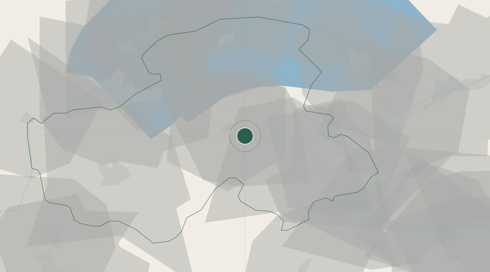
Location
Nearby Logistics Neighbours
Cities
- 1Marignier7 km
- 2Ayse11 km
- 3Passy17 km
- 4Amancy18 km
- 5Saint-Gervais-les-Bains20 km
Ports
- 1Savona245 km
- 2Rada Di Vado248 km
- 3Genova260 km
- 4Monaco266 km
- 5San Remo266 km
Airports
- 1Annemasse Airfield28 km
- 2Annecy Meythet airport39 km
- 3Geneva Cointrin International Airport41 km
- 4Sion Airport62 km
- 5Chambéry Aix les Bains airport70 km
Trade Zones
DatabookThe Record of Consolidated Knowledge
France beyond logistics?